Guernsey in Platte County, Wyoming — The American West (Mountains)
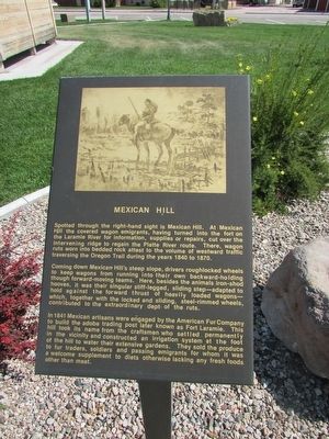
Mexican Hill
Spotted through the right-hand sight is Mexican Hill. At Mexican Hill the covered wagon emigrants, having turned into the fort on the Laramie River for information, supplies or repairs, cut over the intervening ridge to regain the Platte River route. There, wagon ruts worn into bedded rock attest to the volume of westward traffic traversing the Oregon Trail during the years 1840 to 1870.
Coming down Mexican Hill’s steep slope, drivers roughlocked wheels to keep wagons from running into their own backward-holding though forward-moving teams. Here, besides the animals iron-shod hooves, it was their singular stiff-legged, sliding step – adapted to hold against the forward thrust of heavily loaded wagons – which, together with the locked and sliding, steel-rimmed wheels, contributed to the extraordinary dept of the ruts.
In 1841 Mexican artisans were engaged by the American Fur Company to build the adobe trading post later known as Fort Laramie. This hill took its name from the craftsmen who settled permanently in the vicinity and constructed an irrigation system at the foot of the hill to water their extensive gardens. They sold the produce to fur traders, soldiers and passing emigrants for whom it was a welcome supplement to diets otherwise lacking any fresh foods other than meat.
Topics. This historical marker is listed in these topic lists: Roads & Vehicles • Settlements & Settlers. A significant historical year for this entry is 1840.
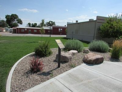
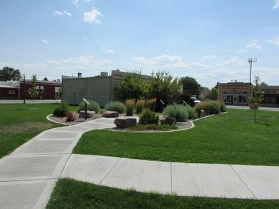
Location. 42° 16.149′ N, 104° 44.468′ W. Marker is in Guernsey, Wyoming, in Platte County. Marker is on S Wyoming Avenue, on the left when traveling south. Touch for map. Marker is in this post office area: Guernsey WY 82214, United States of America. Touch for directions.
Other nearby markers. At least 8 other markers are within walking distance of this marker. Fort Laramie (here, next to this marker); North Platte River (here, next to this marker); Guernsey Pipeline Station (here, next to this marker); Register Cliffs (a few steps from this marker); Guernsey – Frederick Ranch (a few steps from this marker); Sand Point (a few steps from this marker); Laramie Peak (a few steps from this marker); The Burlington – Northern Railroad (a few steps from this marker). Touch for a list and map of all markers in Guernsey.
Credits. This page was last revised on June 16, 2016. It was originally submitted on August 9, 2015, by Bill Coughlin of Woodland Park, New Jersey. This page has been viewed 517 times since then and 12 times this year. Photos: 1, 2, 3. submitted on August 9, 2015, by Bill Coughlin of Woodland Park, New Jersey.


