Guernsey in Platte County, Wyoming — The American West (Mountains)
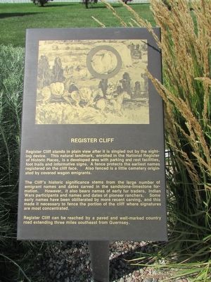
Register Cliffs
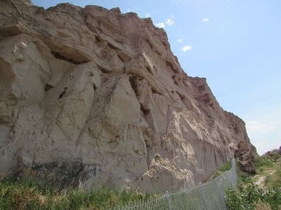
Register Cliff stands in plain view after it is singled out by the sighting device. This natural landmark, enrolled in the National Register of Historic Places, is a developed area with parking and rest facilities, foot trails and informative signs. A fence protects the earliest names registered on the cliff face. Also fenced is a little cemetery originated by covered wagon emigrants.
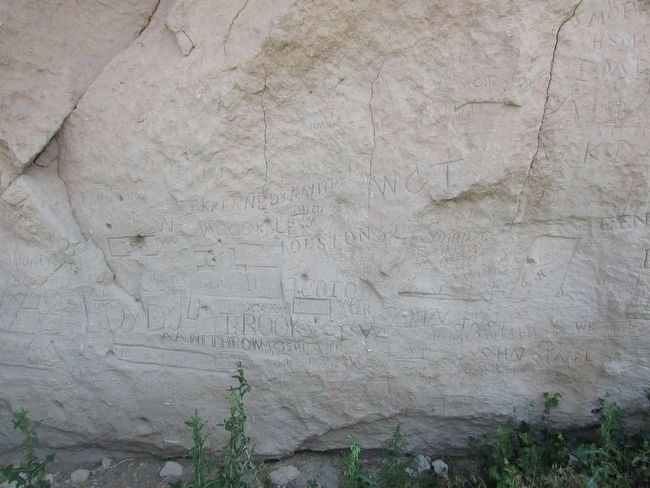
The Cliff’s historical significance stems from the large number of emigrant names and dates carved in the sandstone-limestone formation. However, it also bears names of early fur traders, Indian Wars participants and names and dates of pioneer ranchers. Some early names have been obliterated by more recent carving, and this made it necessary to fence the portion of the cliff where signatures are most concentrated.
Register Cliff can be reached by a paved and well-marked country road extending three mile southeast from Guernsey.
Topics. This historical marker is listed in this topic list: Settlements & Settlers.
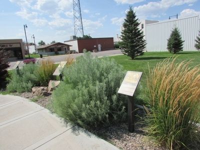
Location. 42° 16.15′ N, 104° 44.474′ W. Marker is in Guernsey, Wyoming, in Platte County. Marker is on S Wyoming Avenue, on the left when traveling south. Touch for map. Marker is in this post office area: Guernsey WY 82214, United States of America. Touch for directions.
Other nearby markers. At least 8 other markers are within walking distance of this marker. Guernsey Pipeline Station (here, next to this marker); North Platte River (here, next to this marker); Guernsey – Frederick Ranch (here, next to this marker); Sand Point (here, next to this marker); Fort Laramie (here, next to this marker); Mexican Hill (a few steps from this marker); Laramie Peak (a few steps from this marker); The Burlington – Northern Railroad (a few steps from this marker). Touch for a list and map of all markers in Guernsey.
Credits. This page was last revised on June 16, 2016. It was originally submitted on August 9, 2015, by Bill Coughlin of Woodland Park, New Jersey. This page has been viewed 404 times since then and 18 times this year. Photos: 1, 2, 3, 4. submitted on August 9, 2015, by Bill Coughlin of Woodland Park, New Jersey.


