Oxford in Butler County, Ohio — The American Midwest (Great Lakes)
The Black (Pugh's Mill) Covered Bridge
Front
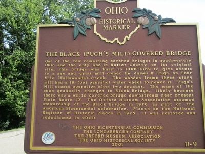
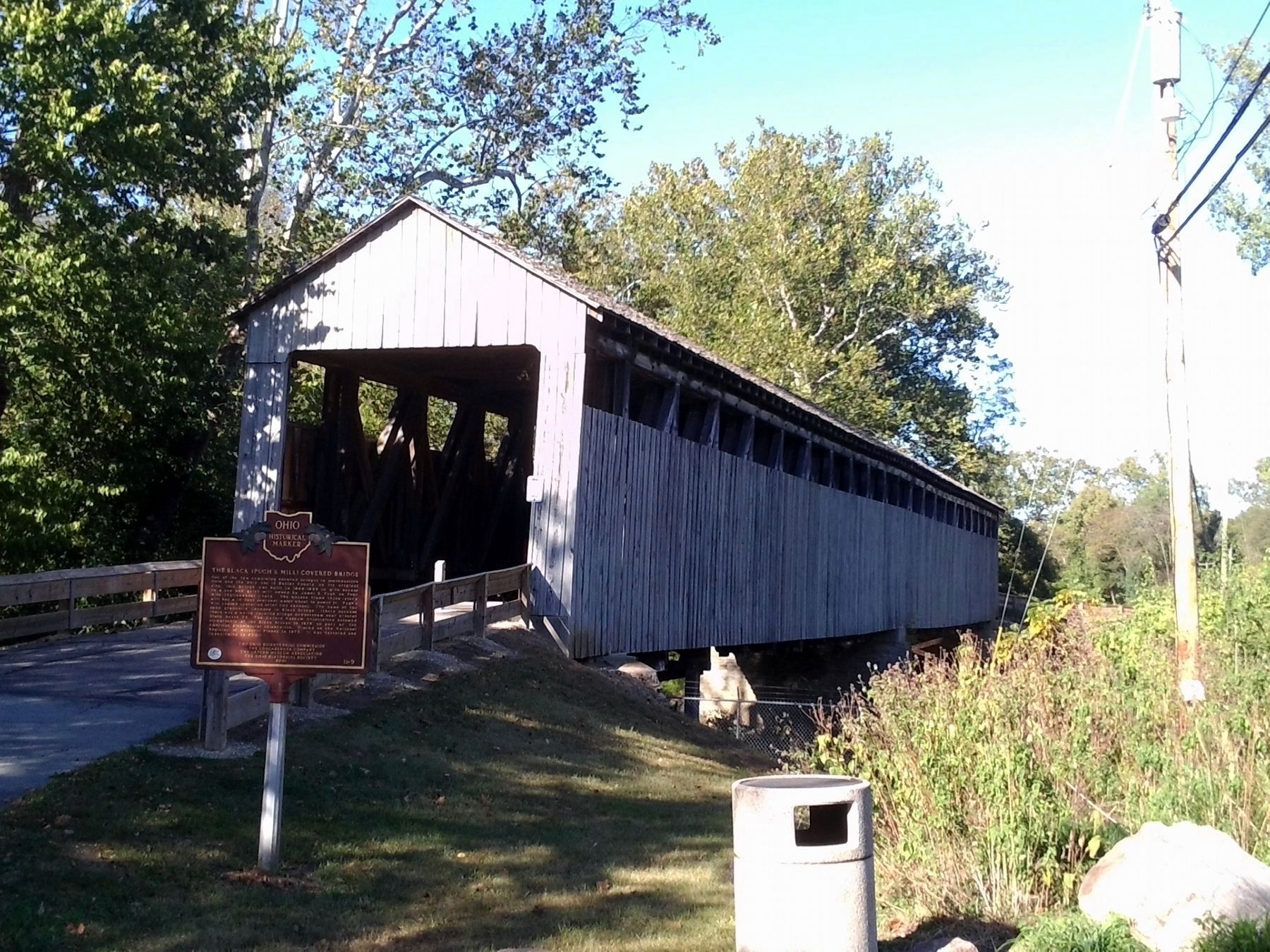
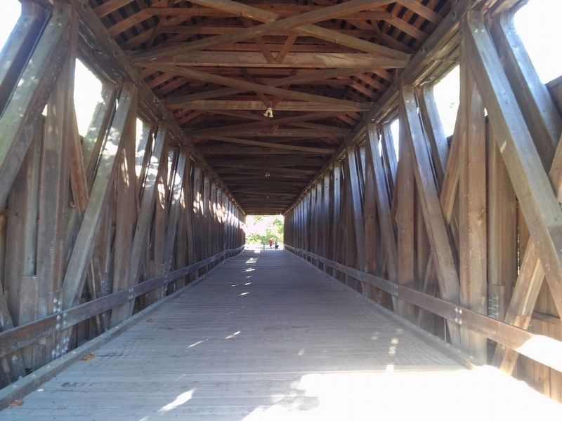
One of the few remaining covered bridges in southwestern Ohio and the only one in Butler County on its original site, this bridge was built in 1868-1869 to give access to a saw and grist mill owned by James B. Pugh on Four Mile (Tallawanda) Creek. The wooden frame three-story mill had a 16-foot overshot water wheel to power it. Pugh's mill ceased operation after two decades. The name of the span gradually changed to Black Bridge, likely because there was a white covered bridge downstream near present State Route 73. The Oxford Museum Association assumed stewardship of the Black Bridge in 1976 as part of the American Bicentennial celebration. Placed on the National Register of Historic Places in 1975. It was restored and rededicated in 2000.
Back
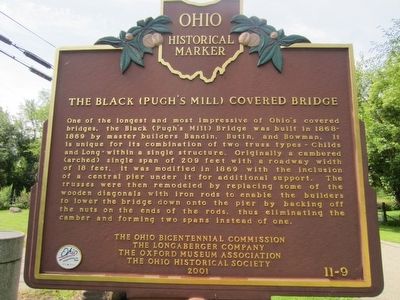
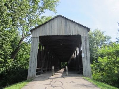
One of the longest and most impressive of Ohio's covered bridges, the Black (Pugh's Mill) Bridge was built in 1868-1869 by master builders Bandin, Butin, and Bowman. It is unique for its combination of two truss types -Childs and Long- within a single structure. Originally a cambered (arched) single span of 209 feet with a roadway width of 18 feet, it was modified in 1869 with the inclusion of a central pier under it for additional support. The trusses were then remodeled by replacing some of the wooden diagonals with iron rods to enable the builders to lower
Erected 2001 by The Ohio Bicentennial Commission, The Longaberger Company, The Oxford Museum Association, The Ohio Historical Society. (Marker Number 11-9.)
Topics and series. This historical marker is listed in these topic lists: Bridges & Viaducts • Industry & Commerce. In addition, it is included in the Covered Bridges, and the Ohio Historical Society / The Ohio History Connection series lists. A significant historical year for this entry is 1976.
Location. 39° 31.44′ N, 84° 44.086′ W. Marker is in Oxford, Ohio, in Butler County. Marker is on Corso Road, on the right. Touch for map. Marker is in this post office area: Oxford OH 45056, United States of America. Touch for directions.
Other nearby markers. At least 8 other markers are within one mile of this marker, measured as the crow flies. Oxford (approx. 0.6 miles away); Oxford Veterans Memorial (approx. one mile away); Mother of Fraternities (approx. one mile away); Lynching in America / Lynchings In Oxford, OH (approx. one mile away); The Act of 1794 (approx. one mile away); Alpha Delta Phi (approx. one mile away); Percy MacKaye / "The Poet's Shack" (approx. one mile away); Upham Hall (approx. 1.1 miles away). Touch for a list and map of all markers in Oxford.
Credits. This page was last revised on September 30, 2019. It was originally submitted on August 10, 2015. This page has been viewed 556 times since then and 24 times this year. Photos: 1, 2. submitted on August 10, 2015. 3. submitted on September 30, 2019, by Joel Seewald of Madison Heights, Michigan. 4. submitted on August 10, 2015. 5. submitted on September 30, 2019, by Joel Seewald of Madison Heights, Michigan. • Bill Pfingsten was the editor who published this page.
