Minisink Hills in Monroe County, Pennsylvania — The American Northeast (Mid-Atlantic)
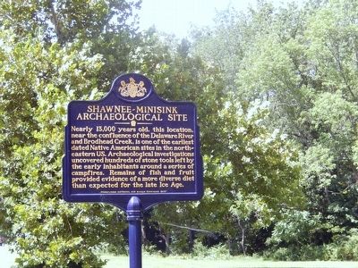
Shawnee-Minisink Archaeological Site
Erected 2010 by Pennsylvania Historical & Museum Commission.
Topics and series. This historical marker is listed in these topic lists: Anthropology & Archaeology • Native Americans • Settlements & Settlers. In addition, it is included in the Pennsylvania Historical and Museum Commission series list.
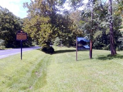
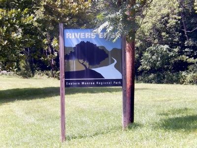
Location. 40° 59.734′ N, 75° 8.24′ W. Marker is in Minisink Hills, Pennsylvania, in Monroe County. Marker is on River Road (CR 2028). The marker is located in River's Edge Park-Eastern Regional Park. Touch for map. Marker is in this post office area: Minisink Hills PA 18341, United States of America. Touch for directions.
Other nearby markers. At least 8 other markers are within 2 miles of this marker, measured as the crow flies. War Memorial (approx. 0.9 miles away); Waring Drive (approx. 0.9 miles away); John Philip Sousa (approx. 0.9 miles away); Delaware Water Gap (approx. 1.2 miles away); Nicholas DuPuy (approx. 1.8 miles away); Worthington Hall (approx. 1.8 miles away); Kittatinny Point (approx. 1.8 miles away in New Jersey); World Wars Memorial (approx. 1.8 miles away).
Credits. This page was last revised on August 26, 2023. It was originally submitted on August 10, 2015, by Don Morfe of Baltimore, Maryland. This page has been viewed 1,089 times since then and 75 times this year. Photos: 1, 2, 3. submitted on August 10, 2015, by Don Morfe of Baltimore, Maryland. • Bill Pfingsten was the editor who published this page.


