Smyrna in Cobb County, Georgia — The American South (South Atlantic)
First Shoupade
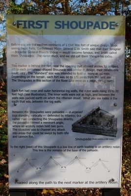
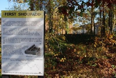
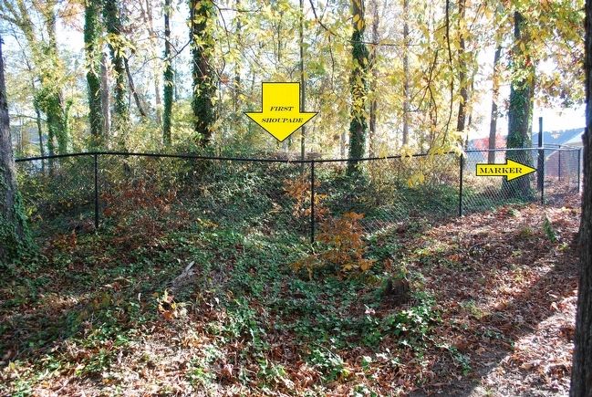
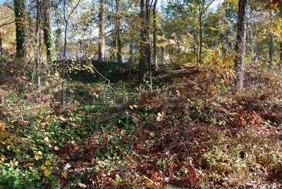
Before you are the earthen remnants of a Civil War fort of unique design. Upon seeing these forts, Confederate Major General G.W. Smith said that their designer — Brigadier General Francis Shoup — would become famous, and Smith called them Shoupades. The name stuck, and we still call them Shoupades today.
This marker is behind the fort, near the opening that allowed access for soldiers. While each arrowhead-shaped Shoupade was similar in design, their dimensions could vary. The "standard" size was intended to hold as many as 80 men. Depending on the terrain, each fort was 60 to 175 yards from the next one. The Shoupades in this section of the River Line were on a ridge, facing north.
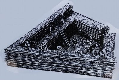
Each fort had inner and outer horizontal log walls, the outer walls rising 15 to 20 feet high (see illustration). The inner walls were not as high, and between the walls was packed earth on which the riflemen stood. What you see today is the earth that was between the log walls.
Between the Shoupades were palisades — sharpened logs standing vertically — defended by infantry, but rather than connecting the Shoupades directly, the palisades formed a reentrant angle, where an artillery redan held two guns. The objective was to channel any attack into areas that could be swept by both rifle and cannon fire.
To the right (east) of this Shoupade is a low line of earth leading to an artillery redan. This line is the remains of the base of the palisade.
Proceed along the path to the next marker at the artillery redan.
Topics. This historical marker is listed in these topic lists: Forts and Castles • War, US Civil.
Location. 33° 50.202′ N, 84° 29.522′ W. Marker is in Smyrna, Georgia, in Cobb County. Marker can be reached from Oakdale Road south of Fort Drive, on the left when traveling south. Follow the Shoupade Park Trail and the marker is on the left. Touch for map. Marker is at or near this postal address: 4770 Oakdale Road, Smyrna GA 30080, United States of America. Touch for directions.
Other nearby markers. At least 8 other markers are within 2 miles of this marker, measured as the crow flies. Shoupade Park (within shouting distance of this marker); Artillery Redan (about 300 feet away, measured in a direct line); Second Shoupade (about 400 feet away); Collins Springs Primitive Baptist Church (approx. 0.6 miles away); Here Johnston’s River Line Crossed the Rd. (approx. 1.3 miles away); Whittier Cotton Mill and Village (approx. 1.8 miles away); United Distributors (approx. 1.9 miles away); The Alexander Eaton House: Hood’s H'dq'rs. (approx. 1.9 miles away). Touch for a list and map of all markers in Smyrna.
Credits. This page was last revised on May 29, 2020. It was originally submitted on August 10, 2015, by Brandon Fletcher of Chattanooga, Tennessee. This page has been viewed 741 times since then and 26 times this year. Photos: 1, 2, 3, 4, 5, 6. submitted on August 10, 2015, by Brandon Fletcher of Chattanooga, Tennessee. • Bernard Fisher was the editor who published this page.
