Meeteetse in Park County, Wyoming — The American West (Mountains)
Site of Halfway House Stage Stop
Wyoming
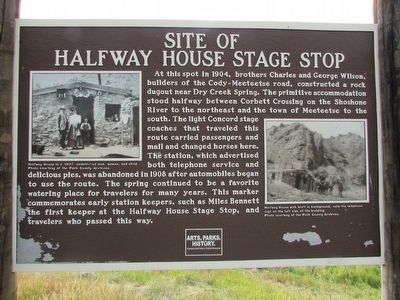
At this spot in 1904, brothers Charles and George Wilson, builders of the Cody-Meeteetse Road, constructed a rock dugout near Dry Creek Spring. The primitive accommodation stood halfway between Corbett Crossing on the Shoshone River to the northeast and the town of Meeteetse to the south. The light Concord stage coaches that traveled this route carried passengers and mail and changed horses here. The station, which advertised both telephone service and delicious pies, was abandoned in 1908 after automobiles began to use the route. The spring continued to be a favorite watering place for travelers for many years. This marker commemorates early station keepers, such as Miles Bennett the first keeper at the Halfway House Stage Stop, and travelers who passed this way.
Erected by Wyoming State Parks & Cultural Resources.
Topics. This historical marker is listed in this topic list: Roads & Vehicles. A significant historical year for this entry is 1904.
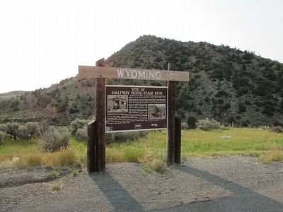
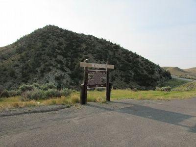
Location. 44° 18.902′ N, 108° 56.375′ W. Marker is in Meeteetse, Wyoming, in Park County. Marker is on State Highway 120, 0.7 miles south of Rd 3Fk, on the left when traveling south. Touch for map. Marker is in this post office area: Meeteetse WY 82433, United States of America. Touch for directions.
Other nearby markers. At least 8 other markers are within 16 miles of this marker, measured as the crow flies. Arland (approx. 9.2 miles away); Amelia Earhart (approx. 11.1 miles away); First National Bank of Meeteetse (approx. 11.4 miles away); Colter’s Hell & Extinct Geyser Basin (approx. 16 miles away); Old Cody City & Buffalo Bill Cody’s Town in the Rockies (approx. 16 miles away); Indian Names for Land Features (approx. 16 miles away); The Panoramic View (approx. 16 miles away); Cedar Mountain (approx. 16 miles away). Touch for a list and map of all markers in Meeteetse.
More about this marker. A photograph of an unidentified man, woman and child at the Halfway House in 1907 can be seen on the left side of the marker. Another photograph on the right side depicts “Halfway House with bluff in background: note the telephone sign on the left side of the building.”
Credits. This page was last revised on June 16, 2016. It was originally submitted on August 13, 2015, by Bill Coughlin of Woodland Park, New Jersey. This page has been viewed 1,033 times since then and 79 times this year. Photos: 1, 2, 3. submitted on August 13, 2015, by Bill Coughlin of Woodland Park, New Jersey.


