Near Port Gibson in Claiborne County, Mississippi — The American South (East South Central)
Sunken Trace
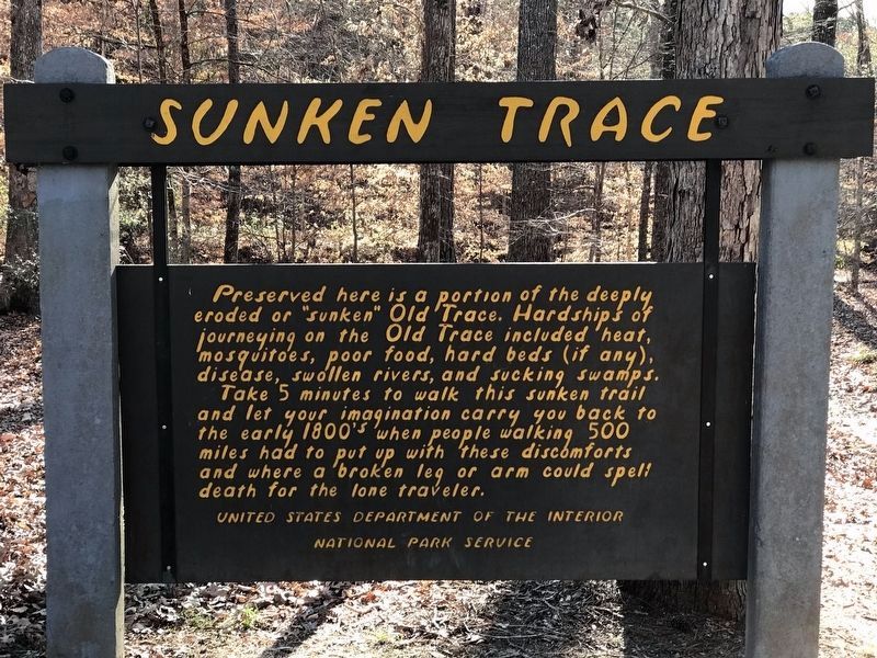
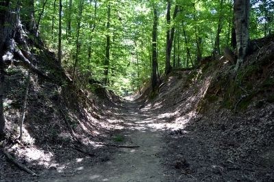
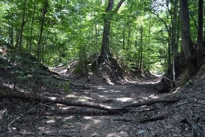
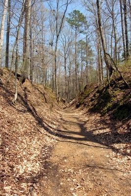
Take 5 minutes to walk this sunken trail and let your imagination carry you back to the early 1800's when people walking 500 miles had to put up with these discomforts and where a broken leg or arm could spell death for the lone traveler.
Erected by United States Department of the Interior, National Park Service.
Topics and series. This historical marker is listed in this topic list: Roads & Vehicles. In addition, it is included in the Natchez Trace series list.
Location. This marker has been replaced by another marker nearby. 31° 58.206′ N, 90° 57.33′ W. Marker is near Port Gibson, Mississippi, in Claiborne County. Marker is on Natchez Trace Parkway (at milepost 41.5), 0.4 miles north of Mississippi Route 18, on the left when traveling north. Touch for map. Marker is in this post office area: Port Gibson MS 39150, United States of America. Touch for directions.
Other nearby markers. At least 8 other markers are within 2 miles of this location, measured as the crow flies. St. Peter A.M.E. Church (approx. 1.6 miles away); McDougall House (approx. 1.7 miles away); Brashear Academy (approx. 1.7 miles away); First Baptist M.B. Church (approx. 1.7 miles away); Gage House (approx. 1.7 miles away); Jewish Cemetery (approx. 1.7 miles away); Roman Catholic Cemetery (approx. 1.7 miles away); First Presbyterian Church (approx. 1.7 miles away). Touch for a list and map of all markers in Port Gibson.
Also see . . . Natchez Trace Parkway. Official National Park Service website. (Submitted on August 17, 2015.)
Credits. This page was last revised on January 24, 2022. It was originally submitted on August 17, 2015, by Duane Hall of Abilene, Texas. This page has been viewed 635 times since then and 33 times this year. Photos: 1. submitted on January 22, 2022, by Paul Terpstra of Waupun, Wisconsin. 2, 3, 4, 5, 6. submitted on August 17, 2015, by Duane Hall of Abilene, Texas.
