Near Raymond in Hinds County, Mississippi — The American South (East South Central)
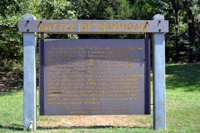
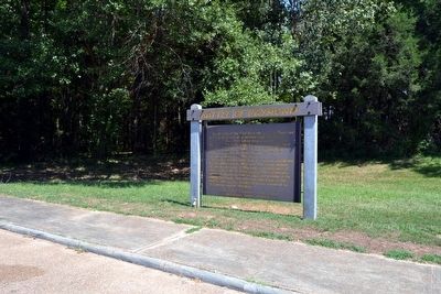
Battle of Raymond
On May 12, Grant’s forces drew fire from a Confederate brigade, commanded by Brig. Gen. John Gregg, located on the southern edge of Raymond three miles east of here. After a day of bitter fighting the Confederates retreated toward Jackson leaving their wounded in the county courthouse. This setto convinced Grant of the need to take Jackson in order to assure success of his forthcoming siege of Vicksburg.
Erected by National Park Service.
Topics and series. This historical marker is listed in these topic lists: Roads & Vehicles • War, US Civil. In addition, it is included in the Former U.S. Presidents: #18 Ulysses S. Grant, and the Natchez Trace series lists. A significant historical date for this entry is May 12, 1863.
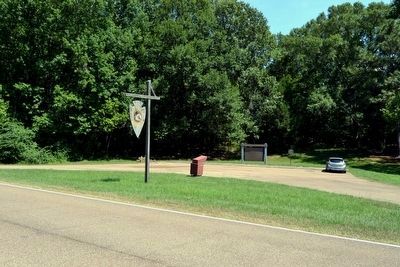
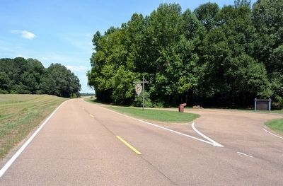
Location. 32° 16.653′ N, 90° 28.538′ W. Marker is near Raymond, Mississippi, in Hinds County. Marker is on Natchez Trace Parkway (at milepost 78.3), 0.6 miles south of Mississippi Highway 467, on the right when traveling north. Touch for map. Marker is in this post office area: Raymond MS 39154, United States of America. Touch for directions.
Other nearby markers. At least 8 other markers are within 3 miles of this marker, measured as the crow flies. Whitworth Breechloading Rifle (approx. 2.8 miles away); Artillery Ammunition (approx. 2.8 miles away); C.S. Gregg's Task Force (approx. 2.8 miles away); C.S. Bledsoe's Missouri Battery (3 Guns) (approx. 2.8 miles away); a different marker also named C.S. Gregg's Task Force (approx. 2.8 miles away); To Clinton and Jackson (approx. 2.9 miles away); The Campaign Turns East (approx. 2.9 miles away); a different marker also named C.S. Gregg's Task Force (approx. 2.9 miles away). Touch for a list and map of all markers in Raymond.
Also see . . .
1. Natchez Trace Parkway. Official National Park Service website. (Submitted on August 18, 2015.)
2. Battle of Raymond - Wikipedia entry. (Submitted on August 18, 2015.)
Credits. This page was last revised on June 16, 2016. It was originally submitted on August 18, 2015, by Duane Hall of Abilene, Texas. This page has been viewed 558 times since then and 21 times this year. Photos: 1, 2, 3, 4. submitted on August 18, 2015, by Duane Hall of Abilene, Texas.


