Allatoona in Bartow County, Georgia — The American South (South Atlantic)
The Deep Cut
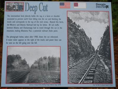
The immediate level, directly below the top, is a berm or shoulder excavated to prevent earth from falling into the cut and blocking the tracks and corresponds to the top of the rock strata. Beyond this berm, the Western and Atlantic Railroad bed lay far below. All rail traffic between Atlanta and Chattanooga had to travel through this cut in the mountain, making Allatoona Pass a potential railroad choke point.
The photograph below, taken after 1900, shows the cut reforested. A water tower appears to the right of the tracks and power lines can be seen on the left going over the hill.
Erected by Georgia State Parks & Historical Sites.
Topics. This historical marker is listed in these topic lists: Railroads & Streetcars • War, US Civil. A significant historical year for this entry is 1900.
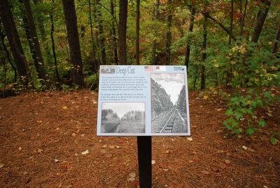
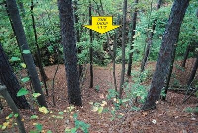
Location. 34° 6.951′ N, 84° 42.97′ W. Marker is in Allatoona, Georgia, in Bartow County. Marker can be reached from Old Alltatoona Road SE, 0.4 miles north of Allatoona Landing Road SE, on the right when traveling north. Marker is located on top of the ridge overlooking the deep cut within the Allatoona Battlefield Park Trail. Touch for map. Marker is at or near this postal address: 632 Old Allatoona Road SE, Cartersville GA 30121, United States of America. Touch for directions.
Other nearby markers. At least 8 other markers are within walking distance of this marker. 4th Minnesota Regimental Headquarters (within shouting distance of this marker); The Foot Bridge (within shouting distance of this marker); Grave of the Unknown Hero (within shouting distance of this marker); Rowett's Redoubt (within shouting distance of this marker); Assault On The Star Fort (about 300 feet away, measured in a direct line); Inside the Star Fort (about 300 feet away); Confederate Withdrawal (about 300 feet away); Military Service Road (about 400 feet away). Touch for a list and map of all markers in Allatoona.
Credits. This page was last revised on November 27, 2018. It was originally submitted on August 18, 2015, by Brandon Fletcher of Chattanooga, Tennessee. This page has been viewed 465 times since then and 19 times this year. Photos: 1, 2, 3, 4. submitted on August 18, 2015, by Brandon Fletcher of Chattanooga, Tennessee. • Bernard Fisher was the editor who published this page.


