Near Canton in Madison County, Mississippi — The American South (East South Central)
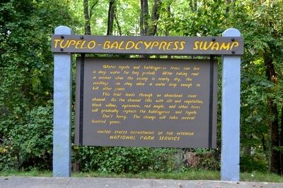
Tupelo–Baldcypress Swamp
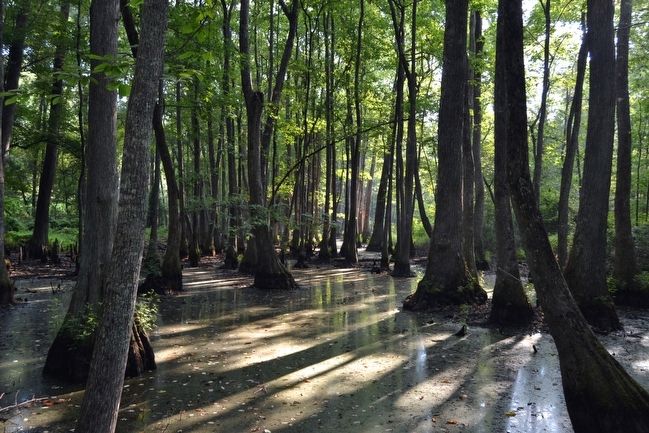
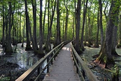
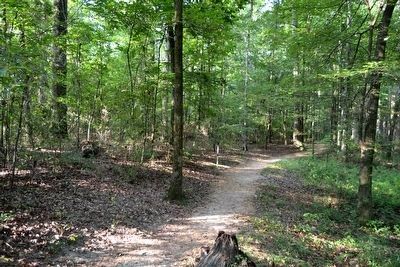
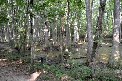
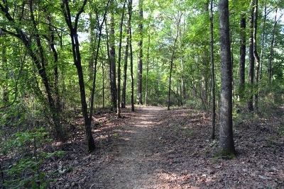
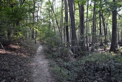
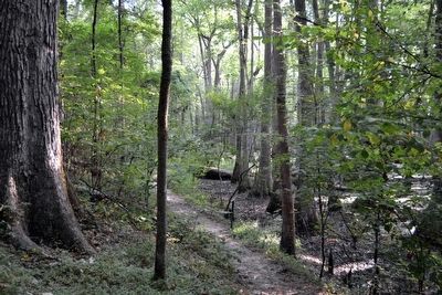
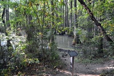
This trail leads through an abandoned river channel. As the channel fills with silt and vegetation, black willow, sycamore, red maple, and other trees will gradually replace the baldcypress and tupelo.
Don’t hurry. The change will take several hundred years.
Erected by National Park Service.
Topics and series. This historical marker is listed in this topic list: Environment. In addition, it is included in the Natchez Trace series list.
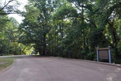
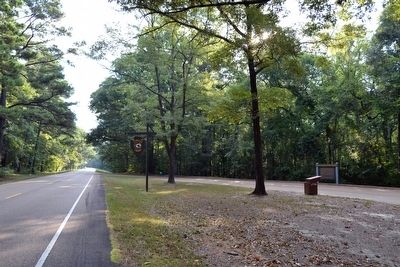
Location. 32° 34.767′ N, 89° 52.195′ W. Marker is near Canton, Mississippi, in Madison County. Marker is on Natchez Trace Parkway (at milepost 122), 7.1 miles north of Mississippi Highway 43, on the right when traveling north. Touch for map. Marker is in this post office area: Canton MS 39046, United States of America. Touch for directions.
Other nearby markers. At least 8 other markers are within 10 miles of this marker, measured as the crow flies. Pearl River (approx. 0.6 miles away); Choctaw Boundary (approx. 6.1 miles away); Southern Pines (approx. 6.1 miles away); Natchez Trace at Madisonville (approx. 7.2 miles away); Confederate Monument (approx. 9.4 miles away); Harvey's Scouts Monument (approx. 9.4 miles away); Howcutt Monument (approx. 9.6 miles away); Old Madison County Jail (approx. 9.6 miles away). Touch for a list and map of all markers in Canton.
Also see . . . Natchez Trace Parkway. Official National Park Service website. (Submitted on August 21, 2015.)
Photographed By Duane Hall, August 5, 2015
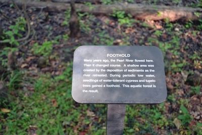
9. Foothold Interpretive Sign
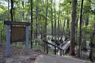
Many years ago, the Pearl River flowed here. Then it changed course. A shallow area was created by the deposition of sediments as the river retreated. During periodic low water, seedlings of water-tolerant cypress and tupelo trees gained a foothold. This aquatic forest is the result.
Photographed By Duane Hall, August 5, 2015
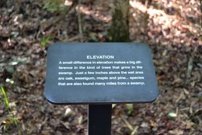
11. Elevation Interpretive Sign
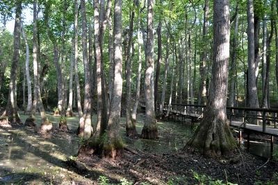
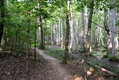
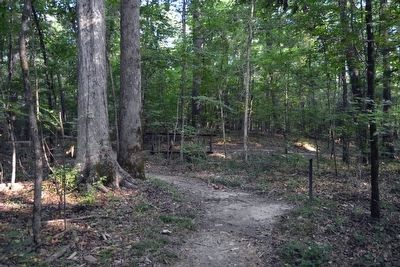
A small difference in elevation makes a big difference in the kind of trees that grow in the swamp. Just a few inches above the wet area are oak, sweetgum, maple and pine ... species that are also found many miles from a swamp.
Photographed By Duane Hall, August 5, 2015
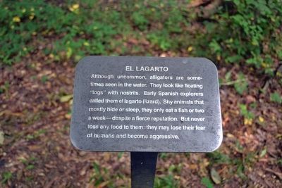
13. El Lagarto Interpretive Sign
Although uncommon, alligators are sometimes seen in the water. They look like floating “logs” with nostrils. Early Spanish explorers called them el lagarto (lizard). Shy animals that mostly hide or sleep, they only eat a fish or two a week—despite a fierce reputation. But never toss any food to them: they may lose their fear of humans and become aggressive.
Photographed By Duane Hall, August 5, 2015
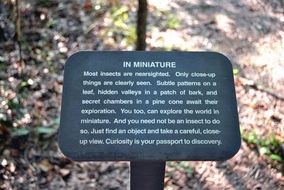
15. In Miniature Interpretive Sign
Most insects are nearsighted. Only close-up things are clearly seen. Subtle patterns on a leaf, hidden valleys in a patch of bark, and secret chambers in a pine cone await their exploration. You too, can explore the world in miniature. And you need not be an insect to do so. Just find an object and take a careful, close-up view. Curiosity is your passport to discovery.
Photographed By Duane Hall, August 5, 2015
19. Purification Interpretive Sign
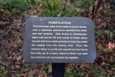
The tea-brown color of the water is due to tannic acid, a harmless substance derived from bark and leaf material. Also found is microscopic plant and animal life that works to break down natural and man-made pollutants that may enter the swamp from the nearby river. Thus, the swamp helps to purify the aquatic environment, but only up to a point, beyond which our careless actions will overwhelm the system.
Photographed By Duane Hall, August 5, 2015
21. Food for Thought Interpretive Sign
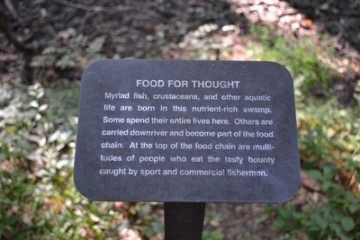
Myriad fish, crustaceans, and other aquatic life are born in this nutrient-rich swamp. Some spend their entire lives here. Others are carried downriver and become part of the food chain. At the top of the foodchain are multitudes of people who eat the tasty bounty caught by sport and commercial fishermen.
Photographed By Duane Hall, August 5, 2015
23. Quest Interpretive Sign
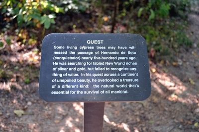
Some living cypress trees may have witnessed the passage of Hernando de Soto (conquistador) nearly five-hundred years ago. He was searching for fabled New World riches of silver and gold, but failed to recognize anything of value. In his quest across a continent of unspoiled beauty, he overlooked a treasure of a different kind: the natural world that’s essential for the survival of all mankind.
Credits. This page was last revised on June 16, 2016. It was originally submitted on August 21, 2015, by Duane Hall of Abilene, Texas. This page has been viewed 326 times since then and 11 times this year. Photos: 1, 2, 3, 4, 5. submitted on August 21, 2015, by Duane Hall of Abilene, Texas. 6, 7, 8, 9, 10, 11, 12, 13, 14, 15, 16, 17, 18, 19, 20, 21, 22, 23. submitted on October 30, 2015, by Duane Hall of Abilene, Texas.
