Near Canton in Madison County, Mississippi — The American South (East South Central)
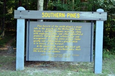
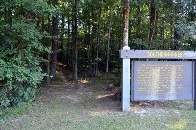
Southern Pines
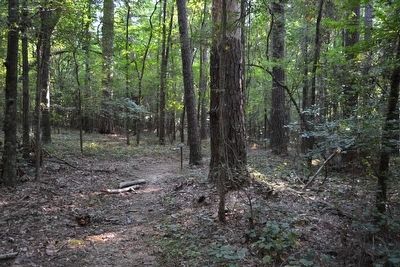
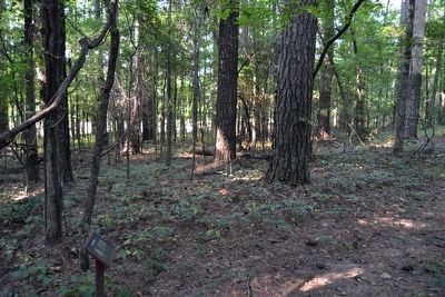
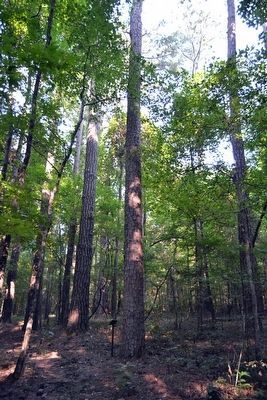
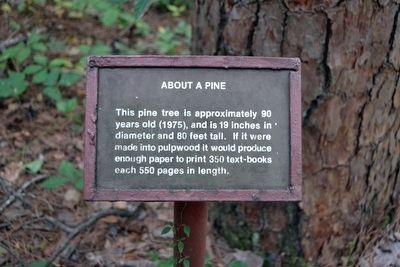
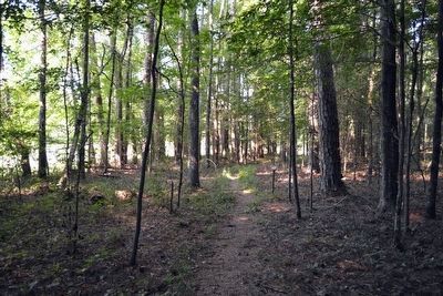
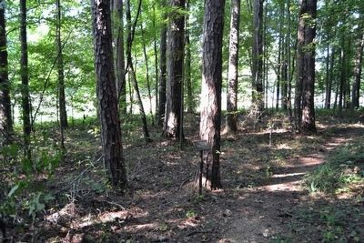
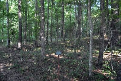
A 10-minute walk around this trail will acquaint you with the southern pines, their life history and enemies.
Erected by National Park Service.
Topics and series. This historical marker is listed in these topic lists: Environment • Horticulture & Forestry. In addition, it is included in the Natchez Trace series list.
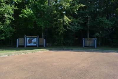
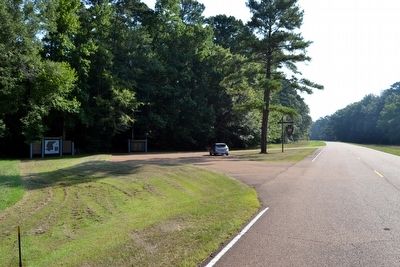
Location. 32° 38.574′ N, 89° 47.78′ W. Marker is near Canton, Mississippi, in Madison County. Marker is on Natchez Trace Parkway (at milepost 128.4), 6.6 miles south of Mississippi Highway 16, on the left when traveling north. Touch for map. Marker is in this post office area: Canton MS 39046, United States of America. Touch for directions.
Other nearby markers. At least 8 other markers are within 15 miles of this marker, measured as the crow flies. Choctaw Boundary (a few steps from this marker); Pearl River (approx. 5˝ miles away); Tupelo–Baldcypress Swamp (approx. 6.1 miles away); Robinson Road (approx. 7 miles away); Forest Grove Presbyterian Church (approx. 7.7 miles away); Red Dog Road (approx. 10.9 miles away); Natchez Trace at Madisonville (approx. 13.3 miles away); Branch School (approx. 14.8 miles away). Touch for a list and map of all markers in Canton.
Also see . . . Natchez Trace Parkway. Official National Park Service website. (Submitted on August 21, 2015.)
Photographed By Duane Hall, August 5, 2015
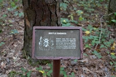
6. Beetle Enemies Interpretive Sign
Southern pines have two major enemies, southern pine beetle and black turpentine beetle. Both bore into the bark, leaving pitch tubules. The larvae burrow along eating the inner bark. If enough beetles infest one tree, it may be girdled and die.
Photographed By Duane Hall, August 5, 2015
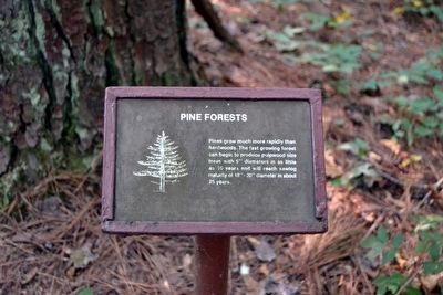
8. Pine Forests Interpretive Sign
Pines grow much more rapidly than hardwoods. The fast growing forest can begin to produce pulpwood size trees with 5" diameters in as little as 10 years and will reach sawlog maturity of 18" - 20" diameter in about 25 years.
Photographed By Duane Hall, August 5, 2015
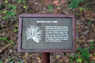
12. Shortleaf Pine Interpretive Sign
Shortleaf pine endures disease and drought better than other pines and even grows back from burned out stumps. Needles, mostly in bundles of 2, are 3 to 5 inches long. Cones are very short up to 2 1/2 inches long. Look up and you can see the difference between the Shortleaf and Loblolly trees.
Photographed By Duane Hall, August 5, 2015
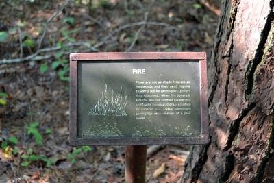
14. Fire Interpretive Sign
Pines are not as shade tolerant as hardwoods and their seed require a mineral soil for germination, preferably disturbed. When fire occurs it kills the less fire tolerant hardwoods and burns leaves and grasses down to mineral soil. These conditions permit the regeneration of a pine forest.
Photographed By Duane Hall, August 5, 2015
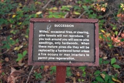
16. Succession Interpretive Sign
Without occasional fires, or clearing, pine forests will not reproduce. If you look around you will see no pine seedlings, only hardwoods. When these mature pines die they will be replaced by a hardwood forest unless a fire occurs or man interferes to permit pine regeneration.
Credits. This page was last revised on June 16, 2016. It was originally submitted on August 21, 2015, by Duane Hall of Abilene, Texas. This page has been viewed 337 times since then and 20 times this year. Photos: 1, 2, 3, 4. submitted on August 21, 2015, by Duane Hall of Abilene, Texas. 5, 6, 7, 8, 9, 10, 11, 12, 13, 14, 15, 16. submitted on October 23, 2015, by Duane Hall of Abilene, Texas.
