Cody in Park County, Wyoming — The American West (Mountains)
Cedar Mountain
Indian Tree Burials and Frost Cave
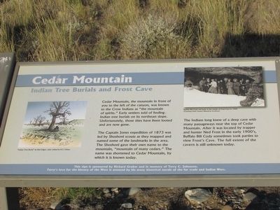
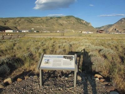
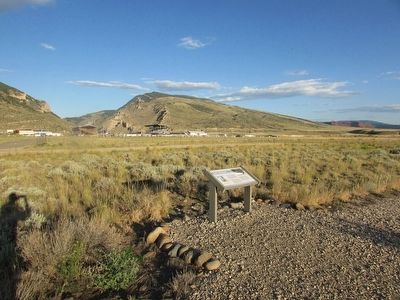
Cedar Mountain, the mountain in front of you to the left of the canyon, was known to the Crow Indians as “the mountain of spirits.” Early settlers told of finding Indian tree burials on its northeast slope. Unfortunately, those sites have been looted and are now gone.
The Captain Jones expedition of 1873 was led by Shoshoni scouts as they mapped and named some of the landmarks in the area. The Shoshoni gave their own name to the mountain “mountain of many cedars.” The name was shortened to Cedar Mountain, by which it is known today.
The Indians long knew of a deep cave with many passageways near the top of Cedar Mountain. After it was located by trapper and hunter Ned Frost in the early 1900ís, Buffalo Bill Cody sometimes took parties to view Frostís Cave. The full extent of the cavern is still unknown today.
Topics. This historical marker is listed in these topic lists: Exploration • Native Americans • Settlements & Settlers. A significant historical year for this entry is 1873.
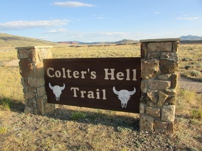
Location. 44° 30.845′ N, 109° 6.362′ W. Marker is in Cody, Wyoming, in Park County. Marker can be reached from W Yellowstone Avenue (U.S. 20), on the right when traveling west. Marker is located along the Colterís Hell Trail. Touch for map. Marker is in this post office area: Cody WY 82414, United States of America. Touch for directions.
Other nearby markers. At least 8 other markers are within walking distance of this marker. The Panoramic View (within shouting distance of this marker); Indian Names for Land Features (within shouting distance of this marker); Colterís Hell & Extinct Geyser Basin (within shouting distance of this marker); Old Cody City & Buffalo Bill Codyís Town in the Rockies (about 300 feet away, measured in a direct line); Lee Street Ė Cody City (about 400 feet away); Trail to Old Cody City (about 400 feet away); Belle Drewry (about 400 feet away); W.A. Gallagher and Blind Bill (about 400 feet away). Touch for a list and map of all markers in Cody.
More about this marker. A picture, “Indian Tree Burial” by Bob Edgar, appears on the left side of the marker. A photograph at the upper right of the marker depicts “Buffalo Bill Cody and party at the mouth of Frost Cave in 1909.”
Related markers. Click here for a list of markers that are related to this marker. See all the markers along the Colterís Hell Trail.
Credits. This page was last revised on June 16, 2016. It was originally submitted on August 23, 2015, by Bill Coughlin of Woodland Park, New Jersey. This page has been viewed 718 times since then and 39 times this year. Photos: 1, 2, 3, 4, 5. submitted on August 23, 2015, by Bill Coughlin of Woodland Park, New Jersey.
