Cody in Park County, Wyoming — The American West (Mountains)
Stone Circles
Near the River Crossing
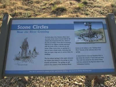
On both sides of the Shoshone River there are many circles made of stones built by the Indians who frequented this area. Some of the sites are simply circles with no doorways, believed to be religious symbols associated with the circle of life or with the sun and moon. Other circles show an opening for a door or have a firepit inside, indicating that they are tepee rings used to anchor hides for dwellings.
The hot mineral springs in this region attracted the Indians who bathed in the springs to treat wounds and sickness. The springs are still active in the canyon of the Shoshone River, known to the Indians as the “Stinking Water River” because of the sulfurous odor of the springs.
A natural ford to cross the Shoshone River is just below the mouth of Trail Creek near here. The creek was named for the ancient Indian trail that connected the Big Horn Basin to the Yellowstone Country.
Topics. This historical marker is listed in this topic list: Native Americans.
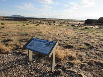
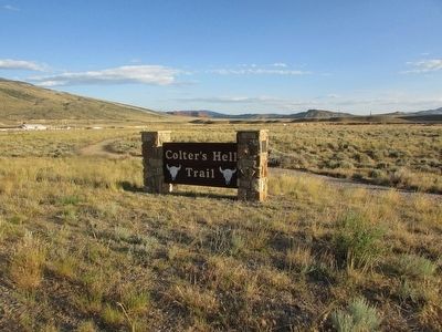
Location. 44° 30.921′ N, 109° 6.345′ W. Marker is in Cody, Wyoming, in Park County. Marker can be reached from W Yellowstone Avenue (U.S. 20), on the right when traveling west. Marker is located along the Colterís Hell Trail. Touch for map. Marker is in this post office area: Cody WY 82414, United States of America. Touch for directions.
Other nearby markers. At least 8 other markers are within walking distance of this marker. Lee Street Ė Cody City (within shouting distance of this marker); Belle Drewry (within shouting distance of this marker); W.A. Gallagher and Blind Bill (within shouting distance of this marker); Sampson E. Stilwell (within shouting distance of this marker); Phillip H. Vetter (within shouting distance of this marker); Jim White (within shouting distance of this marker); John Jeremiah "Liver Eating" Johnston (within shouting distance of this marker); The American Mountain Man (within shouting distance of this marker). Touch for a list and map of all markers in Cody.
More about this marker. Pictures of an Indian Camp and a Ceremonial Circle appear on the marker.
Related markers. Click here for a list of markers that are related to this marker. See all the markers along the Colterís Hell Trail.
Credits. This page was last revised on June 16, 2016. It was originally submitted on August 23, 2015, by Bill Coughlin of Woodland Park, New Jersey. This page has been viewed 905 times since then and 73 times this year. Photos: 1, 2, 3, 4, 5. submitted on August 23, 2015, by Bill Coughlin of Woodland Park, New Jersey.
