Near East Bernstadt in Laurel County, Kentucky — The American South (East South Central)
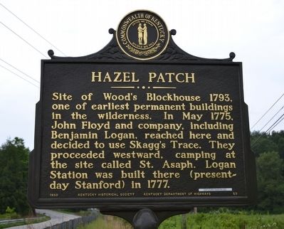
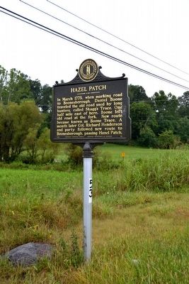
Hazel Patch
Erected 1950 by Kentucky Historical Society and Kentucky Department of Highways. (Marker Number 53.)
Topics and series. This historical marker is listed in these topic lists: Colonial Era • Exploration • Roads & Vehicles • Settlements & Settlers. In addition, it is included in the Kentucky Historical Society series list. A significant historical month for this entry is May 1775.
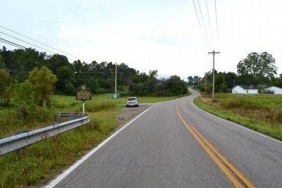
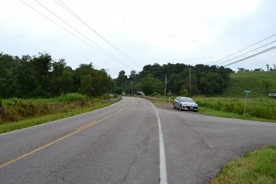
Location. 37° 13.794′ N, 84° 6.132′ W. Marker is near East Bernstadt, Kentucky, in Laurel County. Marker is at the intersection of State Highway 490 and Patton Road, on the left when traveling north on State Highway 490. Touch for map. Marker is in this post office area: East Bernstadt KY 40729, United States of America. Touch for directions.
Other nearby markers. At least 8 other markers are within 6 miles of this marker, measured as the crow flies. Daniel Boone's Trail (approx. ¾ mile away); Pittsburg and Wilderness Road (approx. 4.7 miles away); Camp Wildcat (approx. 5.3 miles away); Camp Wildcat and the Wilderness Road (approx. 5.4 miles away); Camp Wildcat / Union Civil War Camp (approx. 5.4 miles away); a different marker also named Camp Wildcat and the Wilderness Road (approx. 5.7 miles away); Battle of Camp Wildcat (approx. 5.9 miles away); a different marker also named Battle of Camp Wildcat (approx. 5.9 miles away). Touch for a list and map of all markers in East Bernstadt.
Also see . . . Friends of Boone Trace - Keepers of "That Little Road". (Submitted on August 24, 2015.)
Additional commentary.
1. Fork in the Road
According to the Friends of Boone Trace, this area marks the “fork in the road” where in 1775 Daniel Boone and company proceeded north and John Floyd and Benjamin Logan proceeded northwest following Hazel Patch Creek. The Boone route eventually led to Boonesborough and became known as Boone Trace. The Floyd/Logan route, later known as Skagg’s Trace, led further northwest, eventually reaching as far as the Falls of the Ohio; this route was later designed as a wagon road that became the Wilderness Road in 1796.
— Submitted August 24, 2015, by Duane Hall of Abilene, Texas.
Credits. This page was last revised on June 16, 2016. It was originally submitted on August 24, 2015, by Duane Hall of Abilene, Texas. This page has been viewed 528 times since then and 41 times this year. Photos: 1, 2, 3, 4. submitted on August 24, 2015, by Duane Hall of Abilene, Texas.


