Ballentine Place in Norfolk, Virginia — The American South (Mid-Atlantic)
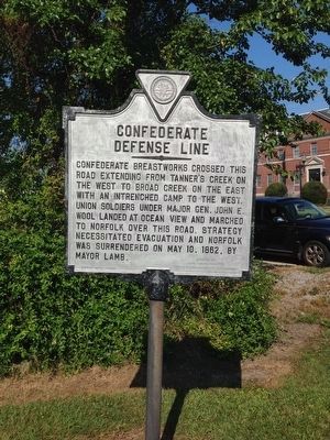
Confederate Defense Line
Erected 1966 by Hope-Maury Chapter, United Daughters of the Confederacy.
Topics. This historical marker is listed in this topic list: War, US Civil. A significant historical date for this entry is May 10, 1862.
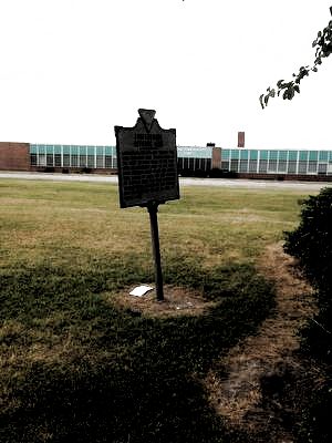
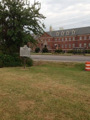
Location. 36° 51.717′ N, 76° 14.771′ W. Marker is in Norfolk, Virginia. It is in Ballentine Place. Marker is on East Princess Anne Road (Virginia Route 166) 0.1 miles west of Ingleside Road, on the left when traveling west. Touch for map. Marker is at or near this postal address: 3321 E Princess Anne Rd, Norfolk VA 23502, United States of America. Touch for directions.
Other nearby markers. At least 8 other markers are within 2 miles of this marker, measured as the crow flies. Booker T. Washington High School (approx. 1.3 miles away); American Cigar Factory (approx. 1.4 miles away); United Order of Tents (approx. 1.8 miles away); Ella J. Baker (approx. 1.8 miles away); Attucks Theatre (approx. 1.8 miles away); Plummer Bernard Young Sr. (1884-1962) (approx. 1.9 miles away); Cedar Grove Cemetery (approx. 2 miles away); Elmwood Cemetery (approx. 2 miles away). Touch for a list and map of all markers in Norfolk.
Credits. This page was last revised on February 1, 2023. It was originally submitted on August 26, 2015, by Brandon D Cross of Flagler Beach, Florida. This page has been viewed 717 times since then and 52 times this year. Photos: 1, 2, 3. submitted on August 27, 2015, by Brandon D Cross of Flagler Beach, Florida. • Bernard Fisher was the editor who published this page.


