Marker Logo HMdb.org THE HISTORICAL
MARKER DATABASE
“Bite-Size Bits of Local, National, and Global History”
Near Hyden in Leslie County, Kentucky — The American South (East South Central)
 

Hurricane Creek Mine Disaster


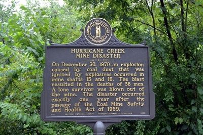
Hurricane Creek Mine Disaster Marker image. Click for full size.
Photographed By Duane Hall, August 6, 2015
1. Hurricane Creek Mine Disaster Marker
Inscription. On December 30, 1970 an explosion caused by coal dust that was ignited by explosives occurred in mine shafts 15 and 16. The blast resulted in the deaths of 38 men. A lone survivor was blown out of the mine. The disaster occurred exactly one year after the passage of the Coal Mine Safety and Health Act of 1969.
 
Erected 2011 by Kentucky Historical Society and Kentucky Department of Highways. (Marker Number 2359.)
 
Topics and series. This historical marker is listed in these topic lists: DisastersIndustry & Commerce. In addition, it is included in the Kentucky Historical Society series list. A significant historical date for this entry is December 30, 1970.
 
Location. 37° 7.685′ N, 83° 20.871′ W. Marker is near Hyden, Kentucky, in Leslie County. Marker is on Wendover-Hurricane Creek Road, 1.4 miles south of Kentucky Highway 80, on the right when traveling south. Marker is at the entrance to the Hurricane Creek Miner Memorial. Touch for map. Marker is in this post office area: Hyden KY 41749, United States of America. Touch for directions.
 
Other nearby markers. At least 8 other markers are within 3 miles of this marker, measured as the crow flies. Hurricane Creek Miner Memorial (within shouting distance of this marker); Sgt. Willie Sandlin (approx. 2.8 miles away); Leslie County Veterans Memorial (approx. 2.8 miles away); Finley Mine Disaster Memorial
Paid Advertisement
Click on the ad for more information.
Please report objectionable advertising to the Editor.
Click or scan to see
this page online
(approx. 2.8 miles away); Leslie County (approx. 2.8 miles away); Redbud Capital of the World (approx. 2.8 miles away); Mothers and Babies (approx. 2.8 miles away); Mary Breckinridge (approx. 2.9 miles away). Touch for a list and map of all markers in Hyden.
 
Also see . . .  Hurricane Creek Mine Disaster - Wikipedia entry. (Submitted on August 27, 2015.)
 
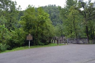
Marker near Entrance to Hurricane Creek Miner Memorial image. Click for full size.
Photographed By Duane Hall, August 6, 2015
2. Marker near Entrance to Hurricane Creek Miner Memorial
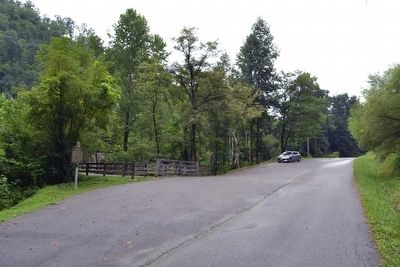
View to South on Wendover-Hurricane Creek Road image. Click for full size.
Photographed By Duane Hall, August 6, 2015
3. View to South on Wendover-Hurricane Creek Road
Marker is on right (west) side of road
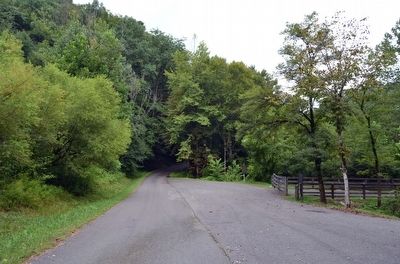
View to North on Wendover-Hurricane Creek Road image. Click for full size.
Photographed By Duane Hall, August 6, 2015
4. View to North on Wendover-Hurricane Creek Road
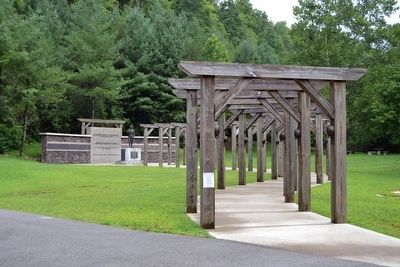
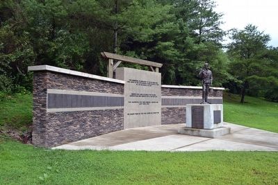
Hurricane Creek Miner Memorial image. Click for full size.
Photographed By Duane Hall, August 6, 2015
5. Hurricane Creek Miner Memorial
Hurricane Creek Miner Memorial image. Click for full size.
Photographed By Duane Hall, August 6, 2015
6. Hurricane Creek Miner Memorial
 
 
Credits. This page was last revised on June 16, 2016. It was originally submitted on August 27, 2015, by Duane Hall of Abilene, Texas. This page has been viewed 524 times since then and 40 times this year. Photos:   1, 2, 3, 4, 5, 6. submitted on August 27, 2015, by Duane Hall of Abilene, Texas.
Share this page.  
Share on Tumblr
m=87772

CeraNet Cloud Computing sponsors the Historical Marker Database.
This website earns income from purchases you make after using our links to Amazon.com. We appreciate your support.
Paid Advertisement
Apr. 24, 2024