Near Manassas in Prince William County, Virginia — The American South (Mid-Atlantic)
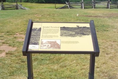
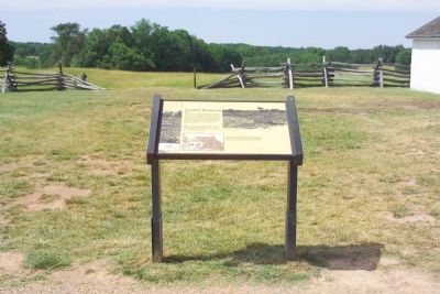
Invaded Farmland
First Battle of Manassas
At ten o’clock Confederate cannon suddenly rumbled into position on the rise 100 yards ahead. There artillerists turned their guns towards Matthews Hill.
Topics. This historical marker is listed in this topic list: War, US Civil.
Location. This marker has been replaced by another marker nearby. It was located near 38° 48.89′ N, 77° 31.368′ W. Marker was near Manassas, Virginia, in Prince William County. Marker could be reached from Sudley Road (Virginia Route 234) 0.4 miles south of Lee Highway (U.S. 29), on the right when traveling north. The marker on the Henry House Hill trail, which starts at the Manassas National Battlefield Park visitor center. Touch for map. Marker was in this post office area: Manassas VA 20109, United States of America. Touch for directions.
Other nearby markers. At least 10 other markers are within walking distance of this location. A different marker also named Invaded Farmland (here, next to this marker); Honoring the Dead (a few steps from this marker); Judith Henry (a few steps from this marker); 1st Battle of Bull Run Memorial (within shouting distance of this marker); Colonel Cameron (within shouting distance of this marker); Wade Hampton (within shouting distance of this marker); The Marines of '61 (within shouting distance of this marker); Lieutenant Ramsey (within shouting distance of this marker); 7th Georgia Markers (about 300 feet away, measured in a direct line); Position 7th G.A. Regt. (about 400 feet away). Touch for a list and map of all markers in Manassas.
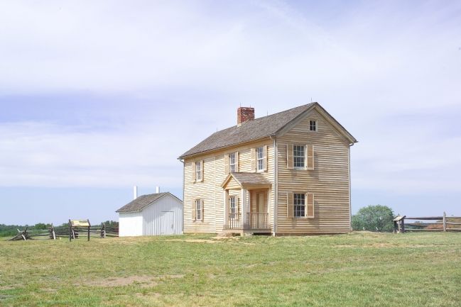
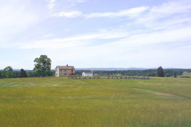
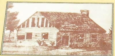
More about this marker. In the upper right is a depiction of the Henry House during peacetime. In the lower center is a photo of Henry House as it appeared just after the battle, riddled with bullets and cannon-fire. Mrs. Henry had insisted on remaining in her house. That afternoon she was killed by an artillery shell meant for sharpshooters firing from her windows. (Judith Henry's grave and inscribed headstone are in the cemetery nearby.)
Regarding Invaded Farmland. This marker has been replaced by a new marker, also named "Invaded Farmland".
Also see . . .
1. Battlefield Map. (Submitted on March 3, 2007.)
2. Battle of Manassas, or Bull Run. Excerpt from General James Longstreet's memoirs From Manassas to Appomattox. (Submitted on March 3, 2007.)
Credits. This page was last revised on April 8, 2022. It was originally submitted on March 3, 2007, by Tom Fuchs of Greenbelt, Maryland. This page has been viewed 2,273 times since then and 29 times this year. Photos: 1, 2, 3, 4, 5. submitted on March 3, 2007, by Tom Fuchs of Greenbelt, Maryland. • J. J. Prats was the editor who published this page.
