Simsbury Center in Hartford County, Connecticut — The American Northeast (New England)
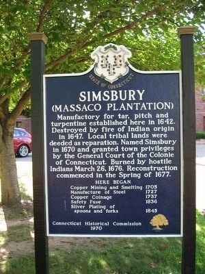
Simsbury
(Massaco Plantation)
Here began
Copper Mining and Smelting 1705
Manufacture of Steel 1727
Copper Coinage 1737
Safety Fuse 1836
Silver Plating of spoons and forks 1845
Connecticut Historical Commission
1970
Erected 1970 by Connecticut Historical Commission.
Topics. This historical marker is listed in these topic lists: Colonial Era • Settlements & Settlers.
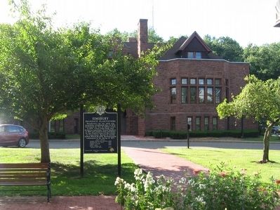
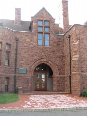
Location. 41° 52.816′ N, 72° 48.025′ W. Marker is in Simsbury, Connecticut, in Hartford County. It is in Simsbury Center. Marker is at the intersection of Hopmeadow Street (Connecticut Route 10) and Pent Road, on the left when traveling north on Hopmeadow Street. Located in front of Simsbury Town Hall. Touch for map. Marker is at or near this postal address: 933 Hopmeadow Street, Simsbury CT 06070, United States of America. Touch for directions.
Other nearby markers. At least 8 other markers are within walking distance of this marker. This Elm Tree (within shouting distance of this marker); First Meeting House In Simsbury (approx. 0.4 miles away); The Landmark Building (approx. 0.4 miles away); Simsbury World War I Memorial (approx. 0.4 miles away); Simsbury Civil War Memorial (approx. 0.4 miles away); Simsbury Veterans Memorial (approx. 0.4 miles away); Simsbury Revolutionary War Memorial (approx. 0.4 miles away); Eno Memorial Hall (approx. 0.4 miles away). Touch for a list and map of all markers in Simsbury.
Also see . . .
1. Town of Simsbury. (Submitted on August 30, 2015, by Michael Herrick of Southbury, Connecticut.)
2. Simsbury, Connecticut on Wikipedia. (Submitted on August 30, 2015, by Michael Herrick of Southbury, Connecticut.)
Credits. This page was last revised on February 10, 2023. It was originally submitted on August 30, 2015, by Michael Herrick of Southbury, Connecticut. This page has been viewed 586 times since then and 54 times this year. Photos: 1, 2, 3, 4. submitted on August 30, 2015, by Michael Herrick of Southbury, Connecticut.


