Matewan in Mingo County, West Virginia — The American South (Appalachia)
Mingo County / State of Kentucky
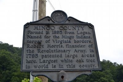
Mingo County. Formed in 1895 from Logan. Named for the Mingo Indians, terror of Virginia borders. Robert Morris, financier of the Revolutionary Army, in 1795 patented large areas here. Largest white oak tree in world is in this county.
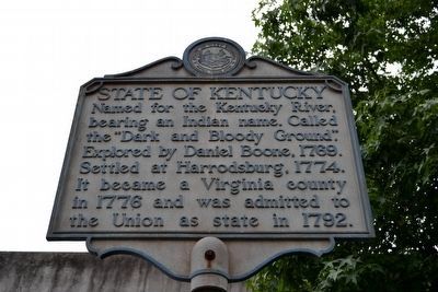
State of Kentucky. Named for the Kentucky River, bearing an Indian name. Called the “Dark and Bloody Ground”. Explored by Daniel Boone, 1769. Settled at Harrodsburg, 1774. It became a Virginia county in 1776 and was admitted to the Union as state in 1792.
Topics and series. This historical marker is listed in these topic lists: Exploration • Political Subdivisions • Settlements & Settlers. In addition, it is included in the West Virginia Archives and History series list. A significant historical year for this entry is 1895.
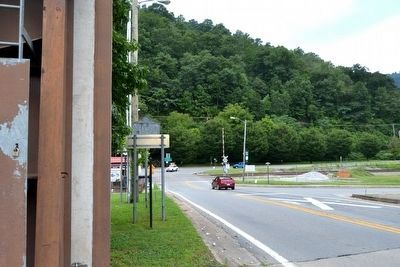
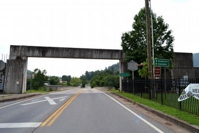
Location. 37° 37.359′ N, 82° 10.092′ W. Marker is in Matewan, West Virginia, in Mingo County. Marker is at the intersection of State Highway 1056 and Main Street, on the right when traveling south on State Highway 1056. Touch for map. Marker is in this post office area: Matewan WV 25678, United States of America. Touch for directions.
Other nearby markers. At least 8 other markers are within walking distance of this marker. Sid Hatfield (here, next to this marker); Matewan and the Railroad (a few steps from this marker); Matewan Area History (a few steps from this marker); Hatfield-McCoy Trail System Founders Monument (about 300 feet away, measured in a direct line); Hatfield-McCoy Feud (about 800 feet away); Divided Loyalties (about 800 feet away); Matewan Massacre (about 800 feet away); Cecil E. Roberts Building (approx. 0.2 miles away). Touch for a list and map of all markers in Matewan.
Credits. This page was last revised on December 14, 2020. It was originally submitted on August 31, 2015, by Duane Hall of Abilene, Texas. This page has been viewed 628 times since then and 54 times this year. Photos: 1, 2, 3, 4, 5, 6. submitted on August 31, 2015, by Duane Hall of Abilene, Texas.
