Medora in Billings County, North Dakota — The American Midwest (Upper Plains)
Coal Mining
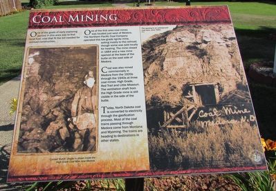
One of the goals of early exploring parties in this area was to find local fuel, coal that fit the bill needed for railroad construction.
One of the first area coal mines was located just west of Medora. The Northern Pacific Coal Company operated this low-grade lignite mine, selling mostly to the railroad, though some was sold locally for heating. The mine closed in 1884 and a new mine opened at the base of the butte on the east side of Medora.
Coal was also mined commercially in Medora from the 1920s through the 1940s at three coal mines: High Grade, Red Trail and Little Missouri. The ventilation shaft from the High Grade mine is still visible in the side of the butte.
Today, North Dakota coal is converted to electricity through the gasification process. Most of the coal trains passing through Medora come from Montana and Wyoming. The trains are heading for destinations in other states.
(Marker Number 5.)
Topics. This historical marker is listed in this topic list: Industry & Commerce.
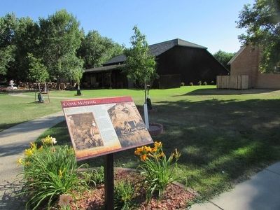
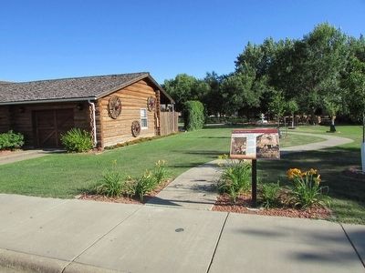
Location. 46° 54.881′ N, 103° 31.334′ W. Marker is in Medora, North Dakota, in Billings County. Marker is on 3rd Avenue, on the left when traveling west. Marker is on 3rd Avenue, between 4th and 5th Streets. Touch for map. Marker is in this post office area: Medora ND 58645, United States of America. Touch for directions.
Other nearby markers. At least 8 other markers are within walking distance of this marker. St. Mary’s Catholic Church (within shouting distance of this marker); Von Hoffman House (about 300 feet away, measured in a direct line); Rough Riders Hotel (about 500 feet away); Medora Education (about 600 feet away); Billings County Courthouse (about 600 feet away); Law Enforcement (about 600 feet away); Margaret Roberts (about 600 feet away); The President Returns (about 700 feet away). Touch for a list and map of all markers in Medora.
More about this marker. A photograph at the lower left on the marker depicts Conrad “Dutch” Ziegler inside the High Grade Coal Mine near Medora. The right of the marker features a photograph of “The opening to an underground coal mine, circa 1920s.”
Credits. This page was last revised on June 16, 2016. It was originally submitted on September 1, 2015, by Bill Coughlin of Woodland Park, New Jersey. This page has been viewed 402 times since then and 36 times this year. Photos: 1, 2, 3. submitted on September 1, 2015, by Bill Coughlin of Woodland Park, New Jersey.


