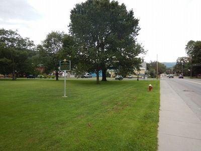
Colbyville in Waterbury in Washington County, Vermont — The American Northeast (New England)
Vermont State Hospital
{Front side}
The first patients arrived at the new Vermont State Asylum for the insane in 1891. For the next 120 years, the hospital served thousands of Vermonters challenged by mental and other illnesses, and employed hundreds of area residents. Designed by Rand and Taylor of Boston, the Hospital was linear in form with a central administrative building, connected pavilions and a pair of unusual circular wards at either end.
{Back side}
Over the years, the Vermont State Hospital complex expanded until the 1960's when advances in the treatment of mental illness caused the patient population to decline. By 1978, state government offices began to occupy vacated space in the complex and in the wake of floods in 2011, the hospital left Waterbury. Today, the original 1890's structure continues to provide office space for Vermont state government.
Erected 2014 by Vermont Division for Historic Preservation.
Topics. This historical marker is listed in these topic lists: Disasters • Notable Buildings • Science & Medicine. A significant historical year for this entry is 1891.
Location. 44° 19.983′ N, 72° 45.104′ W. Marker is in Waterbury, Vermont, in Washington County. It is in Colbyville. Marker is at the intersection of South Main Street (U.S. 2) and Inner Loop Road, on the right when traveling east on South Main Street. Touch for map. Marker is in this post office area: Waterbury VT 05676, United States of America. Touch for directions.
Other nearby markers. At least 8 other markers are within 10 miles of this marker, measured as the crow flies. Dr. Henry Janes (approx. 0.6 miles away); Waterbury Center Methodist Church (approx. 3.7 miles away); Smugglers Notch (approx. 7.4 miles away); The Long Trail (approx. 8.6 miles away); Green Mount Soldiers Lot (approx. 9.2 miles away); Montpelier Recreation Field (approx. 9.6 miles away); Thomas Chittenden (approx. 9.8 miles away); Ammi B. Young (approx. 9.8 miles away).
Additional keywords. Tropical Storm Irene
Credits. This page was last revised on February 16, 2023. It was originally submitted on September 1, 2015, by Kevin Craft of Bedford, Quebec. This page has been viewed 392 times since then and 14 times this year. Photos: 1, 2, 3, 4. submitted on September 1, 2015, by Kevin Craft of Bedford, Quebec.


