Near Fredericksburg in Gillespie County, Texas — The American South (West South Central)
The Easter Fires
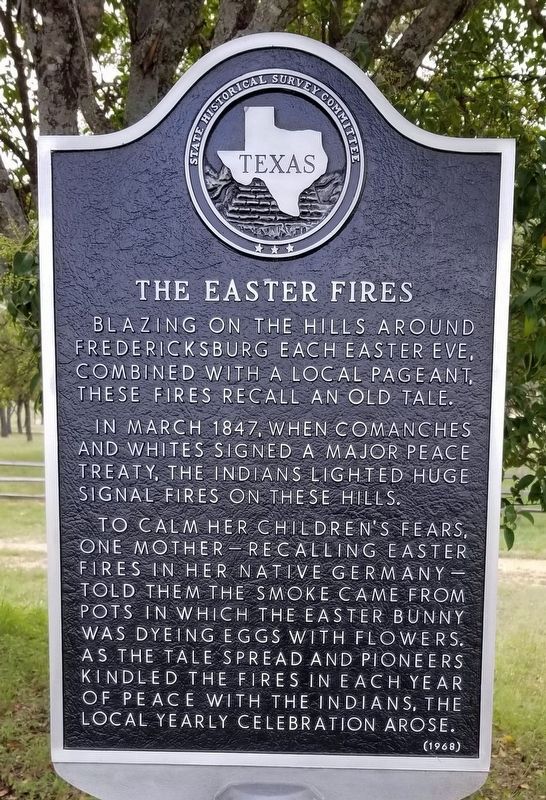
Blazing on the hills around Fredericksburg each Easter eve, combined with a local pageant these fires recall an old tale.
In March 1847, when Comanches and whites signed a major peace treaty, the Indians lighted huge signal fires on these hills.
To calm her children's fears, one mother—recalling Easter fires in her native Germany—told them the smoke came from pots in which the Easter Bunny was dyeing eggs with flowers. As the tale spread and pioneers kindled the fires in each year of peace with the Indians, the local yearly celebration arose.
Erected 1968 by State Historical Survey Committee. (Marker Number 10033.)
Topics. This historical marker is listed in these topic lists: Peace • Wars, US Indian. A significant historical month for this entry is March 1847.
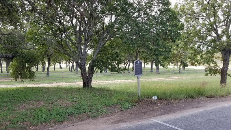
Location. 30° 14.142′ N, 98° 50.029′ W. Marker is near Fredericksburg, Texas, in Gillespie County. Marker is on State Highway 290, 0.1 miles east of Bradshaw Lane, on the right when traveling east. The marker is on a a pull-off area on the shoulder of the road. Touch for map. Marker is at or near this postal address: 3443 Hwy 290, Fredericksburg TX 78624, United States of America. Touch for directions.
Other nearby markers. At least 8 other markers are within 2 miles of this marker, measured as the crow flies. The Natural Setting (approx. 1.1 miles away); The Braeutigam Family (approx. 1.1 miles away); The Guardhouse (approx. 1.2 miles away); Peace with the Indians (approx. 1.2 miles away); The Sutler's Store (approx. 1.2 miles away); The Barracks (approx. 1.2 miles away); Uncovering the Past (approx. 1.2 miles away); The Town and the Fort (approx. 1.2 miles away). Touch for a list and map of all markers in Fredericksburg.
Credits. This page was last revised on October 4, 2020. It was originally submitted on September 3, 2015, by Renee' Lasswell of Austin, Texas. This page has been viewed 1,680 times since then and 231 times this year. Photos: 1. submitted on October 3, 2020, by James Hulse of Medina, Texas. 2. submitted on September 3, 2015, by Renee' Lasswell of Austin, Texas. 3. submitted on October 3, 2020, by James Hulse of Medina, Texas. 4. submitted on September 3, 2015, by Renee' Lasswell of Austin, Texas. • Bernard Fisher was the editor who published this page.


