Glasgow in Barren County, Kentucky — The American South (East South Central)
Defending Glasgow
Fort Williams
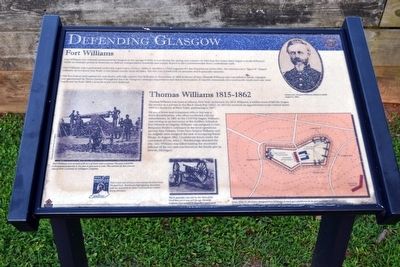
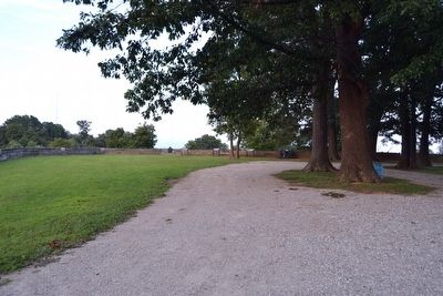
Fort Williams was ordered constructed in Glasgow in the spring of 1863. It was during the spring and summer of 1863 that the Union army began to build defensive works at strategic points in Kentucky to defend transportation networks and supply depots in the Commonwealth from Confederate raids.
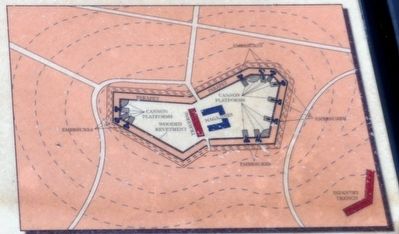
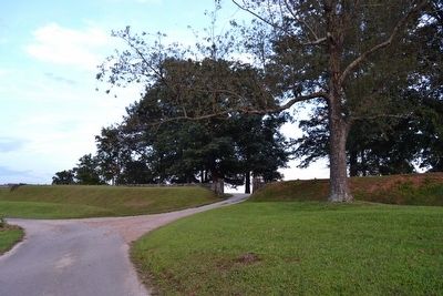
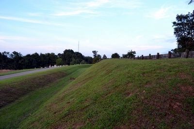
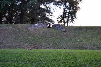
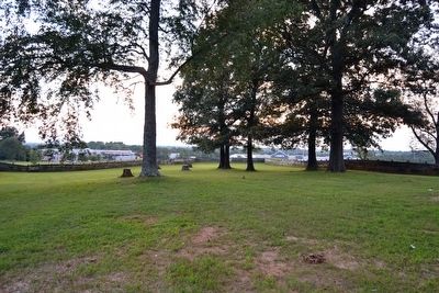
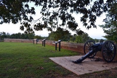
Fort Williams was constructed under the supervision of Lieut. Miles D. McAlister, Chief Engineer for the Department of the Ohio. He constructed a “figure 8" shaped redoubt, an enclosed fort, built to withstand attacks from all sides. The fort was armed with 24-pounder and 6-pounder cannons.
The fort had several names but was finally officially named Fort Williams in November of 1863 in honor of Gen. Thomas Williams who was killed in battle. Glasgow was garrisoned by Union troops throughout the war. Glasgow’s strategic importance was due to its location. It was the crossroads of several north-south and east-west roads and by June 1863 a branch of the L&N Railroad.
Thomas Williams 1815-1862
Thomas Williams was born in Albany, New York on January 10, 1815. Williams, a soldier most of his life, began his service as a private in the Black Hawk War (1832). In 1833 he received an appointment to the United States Military Academy at West Point, graduating in 1837.
He was a brave and competent officer, but was a strict disciplinarian, who often conflicted with his subordinates. In 1861 as the Civil War began, Williams was serving as an instructor at the Artillery School at Fort Monroe in Virginia. Williams was assigned to Gen. Benjamin Butler’s command in the land operations against New Orleans. From New Orleans Williams and his brigade was assigned the task of occupying Baton Rouge. In August 1862, Confederate forces under the command of Gen. John C. Breckinridge attacked the city. Gen. Williams was killed leading the successful defense of the city and was buried in the family plot in Detroit, Michigan.
(Upper Right Image Caption)
Union Gen. Thomas Williams, killed in battle August 5, 1862.
(Middle Left Image Caption)
Fort Williams was armed with two of these type weapons. The gun could fire a 24-pound projectile 5,700 feet or just over a mile. The cannon in this picture was at Fort Corcoran in Arlington, Virginia.
(Lower Center Image Caption)
The 6-pounder was old by the time of the Civil War, yet it was still in use. Records indicate that several 6-pounders were used at Fort Williams.
(Lower Right Illustration Caption)
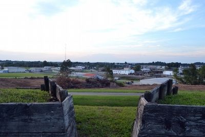
Lieut. Miles D. McAlister designed Fort Williams to have gun platforms on its east and west faces. To bolster the fort’s defenses a detached infantry trench was placed down the hill east of the fort.
Topics and series. This historical marker is listed in these topic lists: Forts and Castles • War, US Civil. In addition, it is included in the John Hunt Morgan Heritage Trail in Kentucky series list. A significant historical year for this entry is 1863.
Location. 36° 59.876′ N, 85° 55.519′ W. Marker is in Glasgow, Kentucky, in Barren County. Marker can be reached from Fort Williams Way south of Cross Street. Marker is at the east end of the interior of Fort Williams. Touch for map. Marker is in this post office area: Glasgow KY 42141, United States of America. Touch for directions.
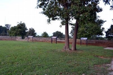
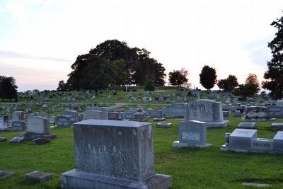
Other nearby markers. At least 8 other markers are within walking distance of this marker. Attack on Fort Williams (here, next to this marker); General Joseph H. Lewis (here, next to this marker); Fort Williams (within shouting distance of this marker); a different marker also named Fort Williams (approx. 0.2 miles away); Glasgow Municipal Cemetery (approx. 0.3 miles away); Billy Vaughn (approx. 0.7 miles away); Barren County World War I Monument (approx. 0.7 miles away); Luska Joseph Twyman (approx. 0.7 miles away). Touch for a list and map of all markers in Glasgow.
More about this marker. The marker is part of the John Hunt Morgan Heritage Trail in Kentucky. This is just one of many sites along the John Hunt Morgan Trail. Brochures highlighting the entire trail are available at visitor information centers along the route.
Also see . . . Trails-R-Us - John Hunt Morgan. Website for the John Hunt Morgan Heritage Trail with a trail map showing all of the Kentucky sites and detailed information on each site. (Submitted on September 3, 2015.)
Credits. This page was last revised on December 7, 2022. It was originally submitted on September 3, 2015, by Duane Hall of Abilene, Texas. This page has been viewed 540 times since then and 16 times this year. Photos: 1, 2, 3, 4, 5, 6, 7, 8, 9, 10, 11, 12. submitted on September 3, 2015, by Duane Hall of Abilene, Texas.
