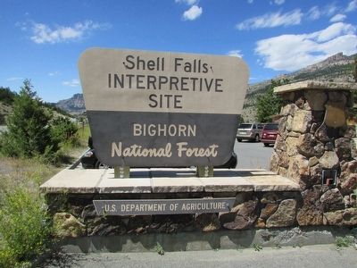
Shell in Big Horn County, Wyoming — The American West (Mountains)
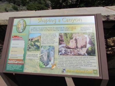
Shaping a Canyon
2.5 billion years of geologic history lie exposed in the canyon walls of Shell Creek. Gradual cutting action by Shell Creek eventually exposed the basement granite layer that lies above the earth’s molten core.
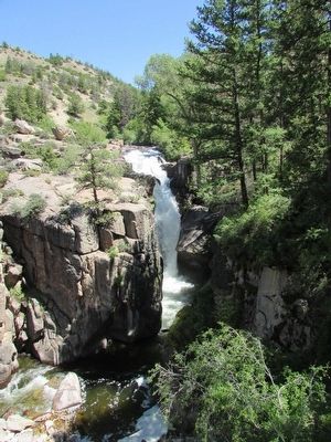
However, Shell Canyon itself formed during the past million years and is but a babe by geologic standards. Younger canyons are known by their V-shaped profile and narrow canyon walls.
The canyon first began when a fault split the granite bedrock. Water, following the path of least resistance, created a continuous downward cutting action exposing many distinct rock layers. Hike the trail for a close-up view of Madison Limestone and Bighorn Dolomite. Both formed under warm, shallow seas and are characterized by shell fossils.
< Sidebar : >
“Hot in the Basement”
Shell Creek has gradually cut through the mountain to expose the basement granite layer. “Basement” rock, also called bedrock, is a term used to describe the oldest layer lying closest to earth’s molten core.
Erected by Bighorn National Forest.
Topics. This historical marker is listed in this topic list: Natural Features.
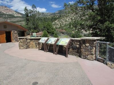
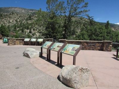
Location. 44° 35.208′ N, 107° 36.893′ W. Marker is in Shell, Wyoming, in Big Horn County. Marker can be reached from U.S. 14, on the right when traveling west. Marker is located in the Shell Falls Interpretive Site in Bighorn National Forest. Touch for map. Marker is in this post office area: Shell WY 82441, United States of America. Touch for directions.
Other nearby markers. At least 8 other markers are within walking distance of this marker. Forming Waterfalls (here, next to this marker); A 4,000 Mile Journey (here, next to this marker); Oasis in the Desert (a few steps from this marker); Lifeblood of the West (a few steps from this marker); Carving a Course (a few steps from this marker); Hummingbirds (a few steps from this marker); Moving Mountains (within shouting distance of this marker); Wringing Out a Livelihood (about 300 feet away, measured in a direct line). Touch for a list and map of all markers in Shell.
Credits. This page was last revised on June 16, 2016. It was originally submitted on September 4, 2015, by Bill Coughlin of Woodland Park, New Jersey. This page has been viewed 345 times since then and 12 times this year. Photos: 1, 2, 3, 4, 5. submitted on September 4, 2015, by Bill Coughlin of Woodland Park, New Jersey.
