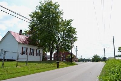
Near London in Laurel County, Kentucky — The American South (East South Central)
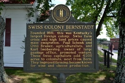
Swiss Colony Bernstadt
Founded 1881, this was Kentucky’s largest foreign colony. Swiss farm crisis and high land prices caused mass emigration. Paul Schenk and Otto Bruner, agriculturists, and Karl Imobersteg, owner of large passage office, promoted venture. These Swiss capitalists sold 4,000 acres to colonists, most from Bern. They improved farming; became known for wine and cheese production.
Erected 1992 by Kentucky Historical Society and Kentucky Department of Transportation. (Marker Number 843.)
Topics and series. This historical marker is listed in this topic list: Settlements & Settlers. In addition, it is included in the Kentucky Historical Society series list. A significant historical year for this entry is 1881.
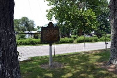
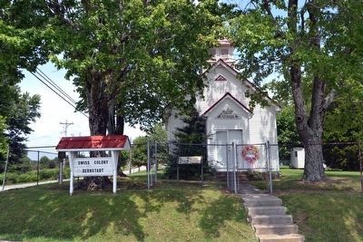
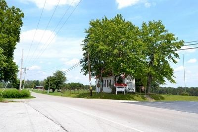
Location. 37° 9.415′ N, 84° 11.648′ W. Marker is near London, Kentucky, in Laurel County. Marker can be reached from the intersection of Hawk Creek Road and Swiss Colony Lane, on the right when traveling north. Touch for map. Marker is in this post office area: London KY 40741, United States of America. Touch for directions.
Other nearby markers. At least 8 other markers are within 7 miles of this marker, measured as the crow flies. Swiss Colony (a few steps from this marker); Pittsburg and Wilderness Road (approx. 4½ miles away); Camp Wildcat and the Wilderness Road (approx. 4.9 miles away); Camp Wildcat / Union Civil War Camp (approx. 4.9 miles away); Camp Wildcat (approx. 5.3 miles away); Skaggs Trace (approx. 6.1 miles away); The Wilderness Road (approx. 6.1 miles away); Laurel Seminary (approx. 6.2 miles away). Touch for a list and map of all markers in London.
Also see . . .
1. Die Kolony Bernstadt. From the appalachianhistory.net website. (Submitted on September 5, 2015.)
2. Traces of Laurel: Coming of the Swiss. From the December 5, 2013 edition of The Sentinel Echo. (Submitted on September 5, 2015.)
Credits. This page was last revised on December 4, 2023. It was originally submitted on September 5, 2015, by Duane Hall of Abilene, Texas. This page has been viewed 521 times since then and 57 times this year. Photos: 1, 2, 3, 4, 5. submitted on September 5, 2015, by Duane Hall of Abilene, Texas.
