Mammoth in Yellowstone National Park in Park County, Wyoming — The American West (Mountains)
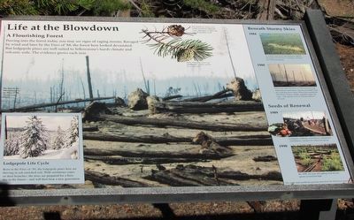
Life at the Blowdown
A Flourishing Forest
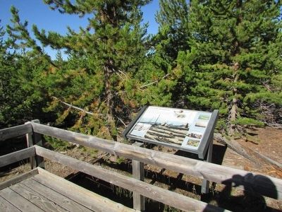
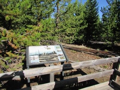
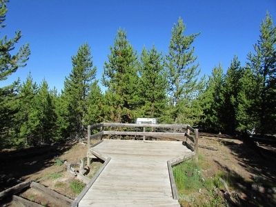
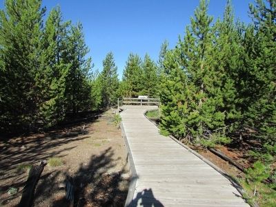
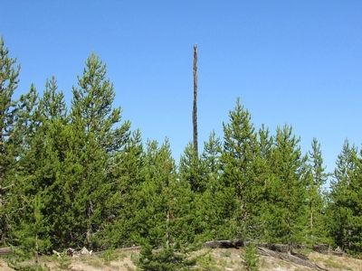
Peering into the forest today, you may see signs of ranging storms. Ravaged by wind and later by the Fires of ’88, the forest here looked devastated. But lodgepole pines are well suited to Yellowstone’s harsh climate and volcanic soils. The evidence grows each year.
Lodgepole Life Cycle
Born in the Fires of ’88, the lodgepole pines here are thriving in ash-enriched soil. With serotinous cones on their branches, the trees are prepared for a firey day in the future – and will then bear a new generation.
Beneath Stormy Skies
1984
A violent wind shear uprooted and toppled thousands of trees here. Seedlings emerged the following spring.
1988
Four years later, the Fires of ’88 roared through Yellowstone, more fierce and uncontrollable than the wind that drove them. When fire reached the blowdown, flames rapidly engulfed tinder-dry logs – and opened cones to release millions of seeds.
Seeds of Renewal
1989
Lodgepole seedlings, strawberries, and grouse whortleberry emerged the following spring.
1998
By 1998, ten-year-old saplings had already grown several feet high.
Erected by National Park Service.
Topics. This historical marker is listed in this topic list: Horticulture & Forestry .
Location. 44° 43.032′ N, 110° 38.415′ W. Marker is in Yellowstone National Park, Wyoming, in Park County. It is in Mammoth. Marker can be reached from Norris Canyon Road, on the left when traveling west. Touch for map. Marker is in this post office area: Yellowstone National Park WY 82190, United States of America. Touch for directions.
Other nearby markers. At least 8 other markers are within 4 miles of this marker, measured as the crow flies. Echinus (approx. 3.1 miles away); Porcelain Springs (approx. 3.1 miles away); Echinus (approx. 3.1 miles away); Norris Geyser Basin (approx. 3.1 miles away); Norris Soldier Station (approx. 3.1 miles away); The Norris Area (approx. 3.1 miles away); Solfatara (approx. 3.1 miles away); Steamboat Geyser (approx. 3.1 miles away). Touch for a list and map of all markers in Yellowstone National Park.
More about this marker. The background of the marker features a photograph of “The blowdown, after burning in the Fires of ’88.” At the top of the marker are photos of pinecones with the following captions: “Fire melted the sticky resin in this serotinous lodgepole cone, allowing it to open and spread abundant seeds.” and “Many lodgepole cones are serotinous - tightly sealed by sticky resin.”
Credits. This page was last revised on February 16, 2023. It was originally submitted on September 7, 2015, by Bill Coughlin of Woodland Park, New Jersey. This page has been viewed 470 times since then and 17 times this year. Photos: 1, 2, 3, 4, 5, 6. submitted on September 7, 2015, by Bill Coughlin of Woodland Park, New Jersey.
