Avalon in Baltimore County, Maryland — The American Northeast (Mid-Atlantic)
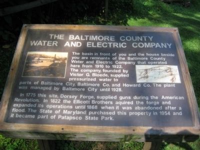
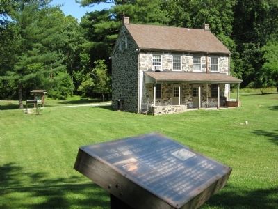
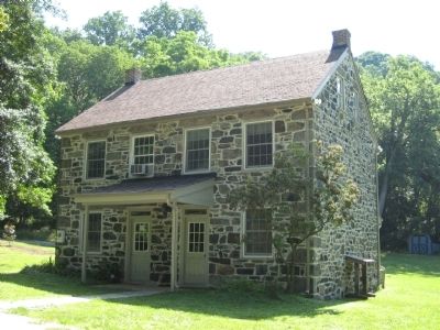
The Baltimore County Water and Electric Company
In 1775 this site, Dorsey Forge, supplied guns during the American Revolution. In 1822 the Ellicott Brothers acquired the forge and expanded its operations until 1868 when it was abandoned after a flood. The State of Maryland purchased this property in 1954 and it became part of Patapsco State Park.
Topics. This historical marker is listed in these topic lists: Charity & Public Work • Industry & Commerce • War, US Revolutionary. A significant historical year for this entry is 1910.
Location. 39° 13.645′ N, 76° 43.199′ W. Marker is in Avalon, Maryland, in Baltimore County. Marker can be reached from the intersection of Washington Boulevard (U.S. 1) and South Street. Marker is within the Patapsco Valley State Park - Avalon area, on the northern side of the Patapsco River. Marker is a few yards beyond the Avalon Visitor Center building which is just under 1 mile from the park gate building. Entrance to PVSP is about 300 feet north of the US 1 - South Street intersection. Touch for map. Marker is in this post office area: Halethorpe MD 21227, United States of America. Touch for directions.
Other nearby markers. At least 8 other markers are within walking distance of this marker. Drinking Water for the Public (within shouting distance of this marker); Forging Freedom and Nails (within shouting distance of this marker); Powering the Patapsco Valley's Industries (about 500 feet away, measured in a direct line); A Place For Progress (about 500 feet away); Iron Builds America (about 500 feet away); Patapsco Valley State Park (about 700 feet away); Elkridge Landing (approx. 0.2 miles away); The C.C.C. Builds Our Park (approx. 0.2 miles away). Touch for a list and map of all markers in Avalon.
Credits. This page was last revised on March 7, 2020. It was originally submitted on July 5, 2008, by F. Robby of Baltimore, Maryland. This page has been viewed 1,617 times since then and 28 times this year. Photos: 1, 2, 3. submitted on July 5, 2008, by F. Robby of Baltimore, Maryland.


