De Kalb in St. Lawrence County, New York — The American Northeast (Mid-Atlantic)
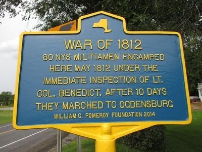
War of 1812
80 NYS militiamen encamped
here May 1812 under the
immediate inspection of Lt.
Col. Benedict. After 10 days
they marched to Ogdensburg
Erected 2014 by William G. Pomeroy Foundation.
Topics and series. This historical marker is listed in this topic list: War of 1812. In addition, it is included in the William G. Pomeroy Foundation series list. A significant historical month for this entry is May 1812.
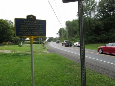
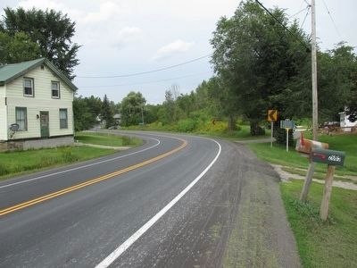
Location. 44° 29.99′ N, 75° 20.552′ W. Marker is in De Kalb, New York, in St. Lawrence County. Marker is on New York State Route 812, 0.1 miles north of County Route 17, on the right when traveling north. County Route 17 shares State Route 812 for nearly equal short distances north and south of the marker. Touch for map. Marker is at or near this postal address: 2668 State Route 812, De Kalb Junction NY 13630, United States of America. Touch for directions.
Other nearby markers. At least 8 other markers are within 7 miles of this marker, measured as the crow flies. DeKalb Village (approx. 0.2 miles away); Cooper’s Rock (approx. 0.6 miles away); The St. Lawrence Plain (approx. 2.4 miles away); DeKalb Junction (approx. 3.4 miles away); Harlow Godard (approx. 6.3 miles away); Rensselaer Falls War Memorial (approx. 6.4 miles away); Helen Rich (approx. 6˝ miles away); Richville Village (approx. 6.6 miles away). Touch for a list and map of all markers in De Kalb.
Also see . . . De Kalb's Own General, Thomas Benedict. Town of De Kalb Historian's Office entry (Submitted on September 13, 2015, by Anton Schwarzmueller of Wilson, New York.)
Credits. This page was last revised on March 15, 2021. It was originally submitted on September 12, 2015, by Anton Schwarzmueller of Wilson, New York. This page has been viewed 434 times since then and 12 times this year. Photos: 1, 2, 3. submitted on September 12, 2015, by Anton Schwarzmueller of Wilson, New York.


