Fishers Hill in Shenandoah County, Virginia — The American South (Mid-Atlantic)
Fisher’s Hill
Ramseur and Grimes Disagree
— 1864 Valley Campaign —
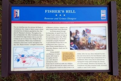
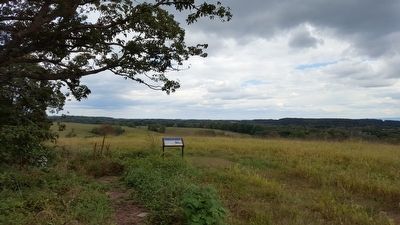
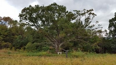
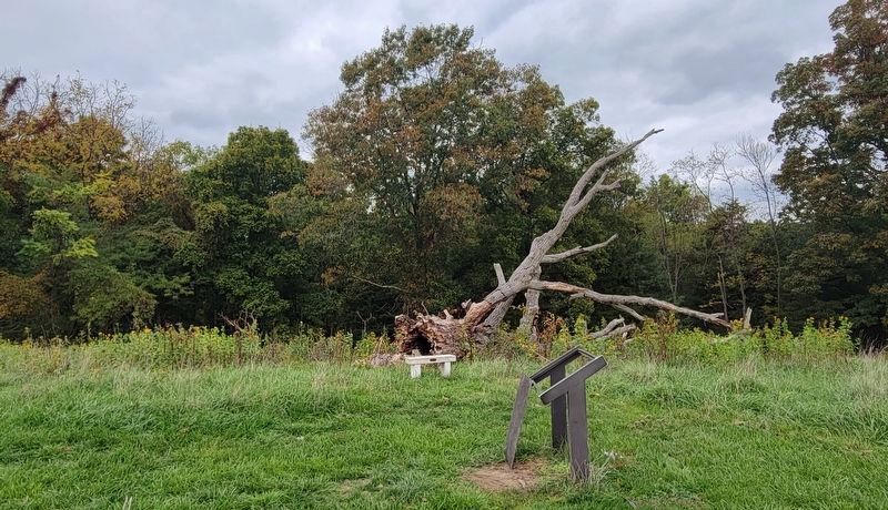
You are standing near the extreme left flank of Confederate Gen. Jubal A. Early’s army’s thinly stretched line of infantry guarded by Gen. Stephen D. Ramseur’s division. Throughout the day on September 22, 1864, Confederate observers utilized the large lookout tree to your left to keep an eye on Union Gen. Philip H. Sheridan’s movements. While many Confederates watched to their front (north) throughout the day, Gen. Bryan Grimes—a brigade commander in Ramseur’s division—looked to the west, toward Little North Mountain.
As Grimes peered through his binoculars, he spied Union Gen. George Crook’s columns moving up the mountain’s eastern face. When he informed Ramseur, the division commander promptly dismissed it and informed Grimes that it was nothing more than a fence row. After Grimes handed Ramseur his binoculars, Ramseur clearly saw the infantry line.
Grimes pleaded with Ramseur to immediately shift troops to strengthen the division’s left. Ramseur informed his subordinate that he would not make any redeployment until he discussed the matter with Early, who subsequently would not allow troops to be shifted. After the war, Early defended his decision and wrote that by the time Ramseur came to him he had already begun preparations for a withdrawal. Early wrote that he believed that moving the troops could increase the chances of a Union assault. Because of his decision, the Confederate left flank remained weak, ultimately unable to repel Crook’s attack.
(sidebar)
To your left is a “lookout” tree, in which Confederate observers erected a platform after trimming branches and the top of the trunk. Scars from these modifications are still visible.
(captions)
Map showing attack at this point
Painting of battle from Confederate position
Erected by Virginia Civil War Trails.
Topics and series. This historical marker is listed in this topic list: War, US Civil. In addition, it is included in the Virginia Civil War Trails series list. A significant historical date for this entry is September 22, 1864.
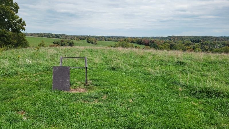
Location. 38° 59.281′ N, 78° 25.222′ W. Marker has been reported damaged. Marker is in Fishers Hill, Virginia, in Shenandoah County. Marker can be reached from Battlefield Road (Virginia Route 601) 0.3 miles east of Tumbling Run Lane, on the left when traveling west. Located along the 1-mile loop trail on the Ramseur's Hill - Fisher's Hill Battlefield. Touch for map. Marker is at or near this postal address: 601 Battlefield Rd, Fishers Hill VA 22626, United States of America. Touch for directions.
Other nearby markers. At least 8 other markers are within walking distance of this location. A different marker also named Fisher's Hill (here, next to this marker); a different marker also named Fisher’s Hill (within shouting distance of this marker); a different marker also named Fisher’s Hill (about 300 feet away, measured in a direct line); a different marker also named Fisher’s Hill (about 500 feet away); a different marker also named Fisher’s Hill (about 500 feet away); a different marker also named Fisher’s Hill (about 600 feet away); a different marker also named Fisher’s Hill (about 800 feet away); Battle of Fisher’s Hill (approx. 0.2 miles away). Touch for a list and map of all markers in Fishers Hill.
Related marker. Click here for another marker that is related to this marker. Old Marker At This Location titled "Fisher's Hill".
Also see . . .
1. Battle of Fisher’s Hill. Shenandoah Valley Battlefields National Historic District website entry (Submitted on September 13, 2015.)
2. Fisher’s Hill. American Battlefield Trust website entry (Submitted on September 13, 2015.)
Credits. This page was last revised on October 18, 2023. It was originally submitted on September 13, 2015, by Bernard Fisher of Richmond, Virginia. This page has been viewed 621 times since then and 61 times this year. Photos: 1, 2. submitted on September 13, 2015, by Bernard Fisher of Richmond, Virginia. 3. submitted on October 18, 2023, by Bradley Owen of Morgantown, West Virginia. 4. submitted on September 13, 2015, by Bernard Fisher of Richmond, Virginia. 5. submitted on October 18, 2023, by Bradley Owen of Morgantown, West Virginia.
