Harding in Morris County, New Jersey — The American Northeast (Mid-Atlantic)
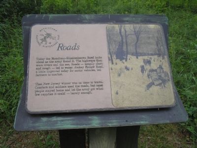
Roads
Morristown National Historical Park
That New Jersey winter was no time to travel. Couriers and soldiers used the roads, but most people stayed home and let the army get what few supplies it could – barely enough.
Erected by Morristown National Historical Park.
Topics. This historical marker is listed in these topic lists: Notable Places • Roads & Vehicles • War, US Revolutionary.
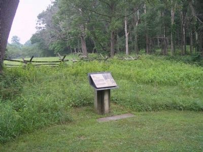
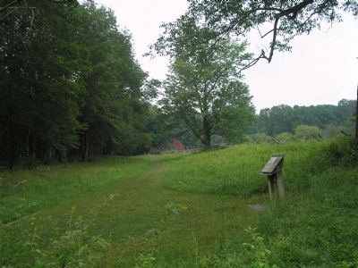
Location. 40° 45.769′ N, 74° 32.522′ W. Marker is in Harding, New Jersey, in Morris County. Marker is on Jockey Hollow Road, on the right when traveling south. Marker is in the Jockey Hollow Unit of the Morristown National Historical Park. Touch for map. Marker is in this post office area: Morristown NJ 07960, United States of America. Touch for directions.
Other nearby markers. At least 8 other markers are within walking distance of this marker. The Aqueduct Trail (a few steps from this marker); Hand’s Brigade (about 300 feet away, measured in a direct line); The Wick Farm (about 300 feet away); a different marker also named The Wick Farm (about 300 feet away); Captain Adam Bettin (about 400 feet away); Wick Farm Garden (about 500 feet away); The Connecticut Line (approx. 0.2 miles away); The Second Maryland Brigade (approx. 0.4 miles away). Touch for a list and map of all markers in Harding.
More about this marker. The right of the marker contains a picture of soldiers unloading supplies from a broken down wagon onto horses and bringing them into the hut village.
Also see . . . Morristown National Historical Park. National Park Service. (Submitted on July 5, 2008, by Bill Coughlin of Woodland Park, New Jersey.)
Credits. This page was last revised on June 16, 2016. It was originally submitted on July 5, 2008, by Bill Coughlin of Woodland Park, New Jersey. This page has been viewed 1,003 times since then and 18 times this year. Photos: 1, 2, 3. submitted on July 5, 2008, by Bill Coughlin of Woodland Park, New Jersey.


