Carthage in Moore County, North Carolina — The American South (South Atlantic)
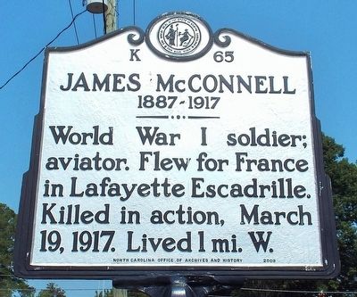
James McConnell
1887-1917
Erected 2009 by North Carolina Office of Archives and History. (Marker Number K-65.)
Topics and series. This historical marker is listed in these topic lists: Air & Space • Patriots & Patriotism • War, World I. In addition, it is included in the North Carolina Division of Archives and History series list. A significant historical date for this entry is March 19, 1917.
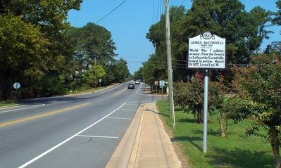
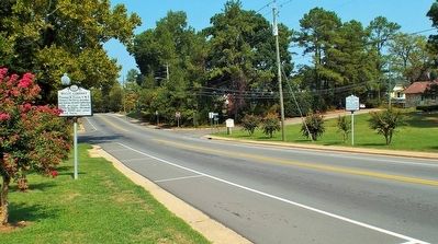
Location. 35° 20.838′ N, 79° 25.107′ W. Marker is in Carthage, North Carolina, in Moore County. Marker is on McReynolds Street (State Highway 24) south of West Barrett Street, on the left when traveling south. Touch for map. Marker is at or near this postal address: 204 McReynolds Street, Carthage NC 28327, United States of America. Touch for directions.
Other nearby markers. At least 8 other markers are within 2 miles of this marker, measured as the crow flies. Buggy Company (a few steps from this marker); Plank Road (approx. 0.2 miles away); Lt. Robert "Hoyle" Upchurch (approx. 1.1 miles away); East Meets West (approx. 1.1 miles away); Biography of Robert Hoyle Upchurch (approx. 1.1 miles away); Ret. SFC Zeb D. Harrington and The "Junkyard Dog" (approx. 1.1 miles away); a different marker also named James McConnell (approx. 1.1 miles away); James Rogers McConnell (approx. 1.1 miles away). Touch for a list and map of all markers in Carthage.
Credits. This page was last revised on June 30, 2021. It was originally submitted on September 14, 2015, by Forest McDermott of Masontown, Pennsylvania. This page has been viewed 345 times since then and 12 times this year. Photos: 1, 2, 3. submitted on September 14, 2015, by Forest McDermott of Masontown, Pennsylvania. • Bernard Fisher was the editor who published this page.


