Sutherland in Lincoln County, Nebraska — The American Midwest (Upper Plains)
The Great Platte River Road
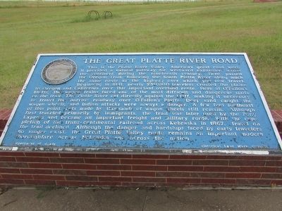
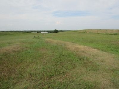
This is the Platte River Valley, America’s great road west. It provided a natural pathway for westward expansion across the continent during the nineteenth century. Here passed the Oregon Trail, following the South Platte River along much the same route as the highway over which you travel. Beginning in 1841, nearly 250,000 travelers crossed the plains to Oregon and California over this important overland route. Here at O’Fallon’s Bluffs, the wagon trains faced one of the most difficult and dangerous spots on the trail. The Platte River cut directly against the bluff, making it necessary to travel the narrow roadway over O’Fallon’s Bluffs. Deep sand caught the wagon wheels, and Indian attacks were always a danger. A few feet southeast of this point, ruts made by thousands of wagon wheels still remain. Although first traveled primarily by immigrants, the trail was later used by the Pony Express and became an important freight and military route. With the completion of the trans-continental railroad across Nebraska in 1867, travel on the trail declined. Although the danger and hardships faced by early travelers no longer exist, the Great Platte Valley route remains an important modern thoroughfare across Nebraska and across the nation.
Erected by Department of Roads – Historical Land Mark Council. (Marker Number 110.)
Topics and series. This historical marker is listed in these topic lists: Roads & Vehicles • Settlements & Settlers. In addition, it is included in the Great Platte River Road series list.
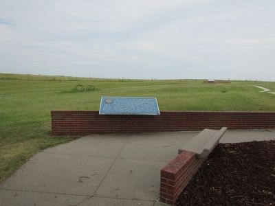
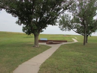
Location. 41° 8.312′ N, 101° 5.755′ W. Marker is in Sutherland, Nebraska, in Lincoln County. Marker can be reached from Interstate 80 at milepost 159, on the right when traveling east. The marker is located at the rest area at mile marker 159. Touch for map. Marker is in this post office area: Sutherland NE 69165, United States of America. Touch for directions.
Other nearby markers. At least 3 other markers are within walking distance of this marker. Crossing the Overland Trail (within shouting distance of this marker); Purple Heart Trail (within shouting distance of this marker); a different marker also named The Great Platte River Road (approx. 0.4 miles away).
Credits. This page was last revised on July 10, 2023. It was originally submitted on September 15, 2015, by Bill Coughlin of Woodland Park, New Jersey. This page has been viewed 394 times since then and 14 times this year. Last updated on July 9, 2023, by Jeff Leichsenring of Garland, Texas. Photos: 1, 2, 3, 4. submitted on September 15, 2015, by Bill Coughlin of Woodland Park, New Jersey. • J. Makali Bruton was the editor who published this page.


