Freeport in Sacramento County, California — The American West (Pacific Coastal)
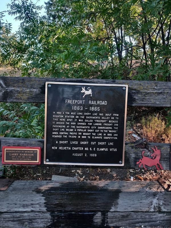
Freeport Railroad
1863-1865
A short lived short cut short line.
New Helvetia Chapter No. 5 E. Clampus Vitus
August 2, 1969
Erected 1969 by E. Clampus Vitus.
Topics and series. This historical marker is listed in this topic list: Railroads & Streetcars. In addition, it is included in the E Clampus Vitus series list. A significant historical year for this entry is 1863.
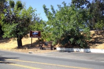
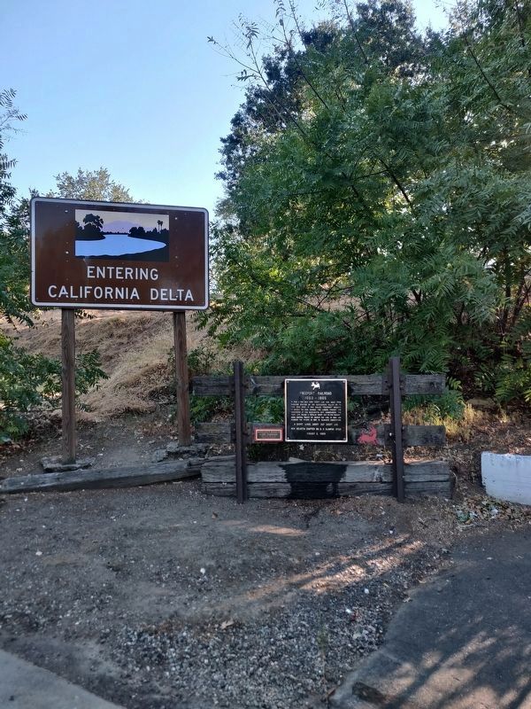
Location. 38° 27.415′ N, 121° 30.047′ W. Marker is in Freeport, California, in Sacramento County. Marker is on Highway 160, on the right when traveling south. Highway 160 is also known as Freeport Boulevard on this stretch. Touch for map. Marker is in this post office area: Chehalis WA 98532, United States of America. Touch for directions.
Other nearby markers. At least 8 other markers are within 6 miles of this marker, measured as the crow flies. George Hack House (about 800 feet away, measured in a direct line); 1972 Sacramento Canadair Sabre Accident Memorial (approx. 4˝ miles away); Sacramento County WW I Veterans Memorial (approx. 5.6 miles away); Camp Union Sutterville (approx. 5.6 miles away); Sutterville Brewery (approx. 5.6 miles away); Spencer Hoofed Animal Complex (approx. 5.6 miles away); James Rutter (approx. 5.8 miles away); Memorial Grove (approx. 5.9 miles away).
Regarding Freeport Railroad. The town of Freeport survived the demise of its initial reason for existence by relying on agriculture. Today it has a marina, a few restaurants, a golf course, a market, and some bait shops.
Credits. This page was last revised on July 19, 2020. It was originally submitted on July 6, 2008, by Andrew Ruppenstein of Lamorinda, California. This page has been viewed 1,876 times since then and 48 times this year. Photos: 1. submitted on July 18, 2020, by Steven Armstrong of Sacramento, California. 2, 3. submitted on July 6, 2008, by Andrew Ruppenstein of Lamorinda, California. 4. submitted on July 18, 2020, by Steven Armstrong of Sacramento, California. • Christopher Busta-Peck was the editor who published this page.


