Sweetwater in Nolan County, Texas — The American South (West South Central)
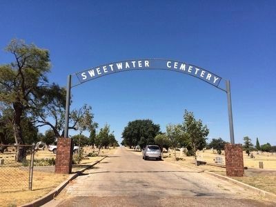
Sweetwater Cemetery
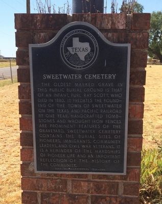
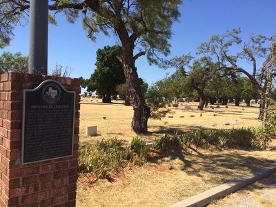
The oldest marked grave in this public burial ground is that of an infant, Purl Ray Scott, who died in 1880. It predates the founding of the town of Sweetwater on the Texas and Pacific Railroad by one year. Handcrafted tombstones and wrought iron fences are prominent features of the graveyard. Sweetwater Cemetery contains the burial sites of pioneers, immigrants, community leaders, and Civil War veterans. It is a reminder of the hardships of pioneer life and an important reflection of the history of the community.
Texas Sesquicentennial 1836-1986.
Erected 1986 by Texas Historical Commission. (Marker Number 5163.)
Topics. This historical marker is listed in these topic lists: Cemeteries & Burial Sites • Settlements & Settlers • War, US Civil. A significant historical year for this entry is 1880.
Location. 32° 27.417′ N, 100° 25.334′ W. Marker is in Sweetwater, Texas, in Nolan County. Marker is on West Alabama Avenue, 0.1 miles west of Robert Lee Street, on the right when traveling west. Touch for map. Marker is at or near this postal address: 2000 West Alabama Avenue, Sweetwater TX 79556, United States of America. Touch for directions.
Other nearby markers. At least 8 other markers are within 2 miles of this marker, measured as the crow flies. Trammell House (approx. one mile away); Texas and Pacific Railway (approx. 1.2 miles away); W.A.S.P. (Women's Airforce Service Pilots) Training Base: Avenger Field (approx. 1.2 miles away); S.D. Myres (approx. 1.3 miles away); Nolan County (approx. 1.3 miles away); Ragland Building (approx. 1.3 miles away); Sweetwater Municipal Auditorium (approx. 1.3 miles away); First Baptist Church of Sweetwater (approx. 1.4 miles away). Touch for a list and map of all markers in Sweetwater.
Credits. This page was last revised on November 24, 2020. It was originally submitted on September 16, 2015, by Mark Hilton of Montgomery, Alabama. This page has been viewed 647 times since then and 32 times this year. Photos: 1, 2, 3. submitted on September 16, 2015, by Mark Hilton of Montgomery, Alabama.


