Near Dalhart in Dallam County, Texas — The American South (West South Central)
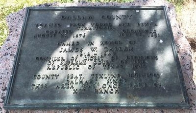
Dallam County
territories
Created Organized
August 21, 1876 July 28, 1891
Named in honor of
James W. Dallam
1818-1847
Compiler of digest of decisions
of Supreme Court of the
Republic of Texas, 1845
County Seat, Texline, 1891-1903
Dalhart, since
this area was once part of
XIT Ranch.
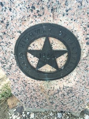
Erected 1936 by Texas Historical Commission. (Marker Number 1158.)
Topics and series. This historical marker is listed in these topic lists: Political Subdivisions • Settlements & Settlers. In addition, it is included in the Texas 1936 Centennial Markers and Monuments series list. A significant historical date for this entry is July 28, 1891.
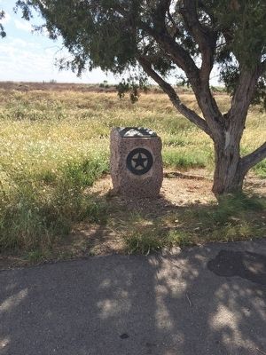
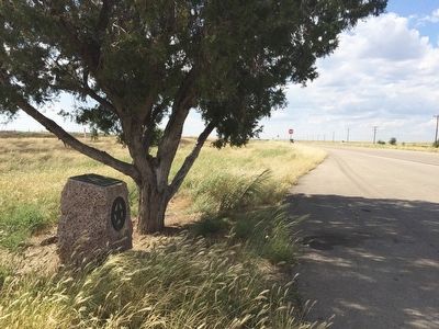
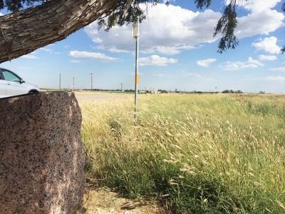
Location. 36° 5.235′ N, 102° 33.275′ W. Marker is near Dalhart, Texas, in Dallam County. Marker is on U.S. 87, 0.2 miles north of South Sedan Road (County Road 1727), on the left when traveling north. Touch for map. Marker is at or near this postal address: 12366 US-87, Dalhart TX 79022, United States of America. Touch for directions.
Other nearby markers. At least 8 other markers are within 3 miles of this marker, measured as the crow flies. Mrs. Cordia Sloan Duke (approx. 2.2 miles away); Heartland of Old XIT Ranch (approx. 2.2 miles away); 305th Airdrome Squadron Memorial (approx. 2˝ miles away); a different marker also named Dallam County (approx. 2˝ miles away); Dallam County Courthouse (approx. 2˝ miles away); Texas Sesquicentennial (approx. 2˝ miles away); Dalhart High School Boys World War II Memorial (approx. 2˝ miles away); James R. Fox, Jr. (approx. 2˝ miles away). Touch for a list and map of all markers in Dalhart.
Also see . . .
1. Wikipedia article on XIT Ranch. (Submitted on September 19, 2015, by Mark Hilton of Montgomery, Alabama.)
2. Texas State Historical Association article on Dallam County. (Submitted on September 19, 2015, by Mark Hilton of Montgomery, Alabama.)
Credits. This page was last revised on November 24, 2020. It was originally submitted on September 19, 2015, by Mark Hilton of Montgomery, Alabama. This page has been viewed 4,468 times since then and 255 times this year. Photos: 1, 2, 3, 4, 5. submitted on September 19, 2015, by Mark Hilton of Montgomery, Alabama.
