Dermott in Scurry County, Texas — The American South (West South Central)
Dermott
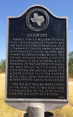
Named for S. P. McDermott, who had crossroads store and was an early postmaster. Began as a community called Dark, 1½ miles northeast. (School in area was named Bookout.) Town moved 1909 to the Roscoe, Snyder & Pacific Railroad. It had a hotel and a number of businesses. The Santa Fe was built in 1911, and the competing railroads made this a busy cattle shipping center, with full loading pens. Town moved 1915 to Santa Fe Railroad.
The R.S. & P. tracks were taken up in 1942. The town had new population in the late 1940's, during county oil boom.
Erected 1966 by State Historical Survey Committee. (Marker Number 1210.)
Topics. This historical marker is listed in these topic lists: Industry & Commerce • Railroads & Streetcars • Settlements & Settlers. A significant historical year for this entry is 1909.
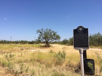
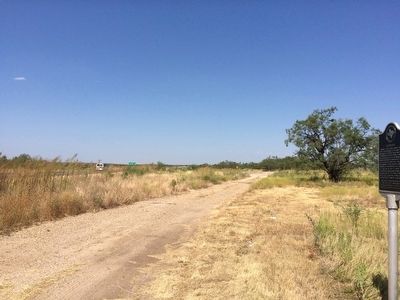
Location. 32° 51.414′ N, 101° 1.089′ W. Marker is in Dermott, Texas, in Scurry County. Marker is on U.S. 84, 0.1 miles south of County Road 2121, on the right when traveling west. Touch for map. Marker is in this post office area: Snyder TX 79549, United States of America. Touch for directions.
Other nearby markers. At least 8 other markers are within 10 miles of this marker, measured as the crow flies. Home County of Famous Frontiersmen J. Wright Mooar (approx. 1.9 miles away); Scurry County's Billionth Barrel of Oil (approx. 5.6 miles away); Former Townsite of Light (approx. 6.9 miles away); Fluvanna Mercantile Company (approx. 7 miles away); Fluvanna (approx. 7 miles away); Site of First Presbyterian Church of Fluvanna (approx. 7˝ miles away); The Block 97 Controversy (approx. 9 miles away); Von Roeder Cotton Breeding Farms (approx. 9.4 miles away).
Also see . . . Texas State Historical Association article on Dermott. (Submitted on September 21, 2015, by Mark Hilton of Montgomery, Alabama.)
Credits. This page was last revised on June 16, 2016. It was originally submitted on September 21, 2015, by Mark Hilton of Montgomery, Alabama. This page has been viewed 1,378 times since then and 143 times this year. Photos: 1, 2, 3. submitted on September 21, 2015, by Mark Hilton of Montgomery, Alabama.


