Madisonville in Hopkins County, Kentucky — The American South (East South Central)
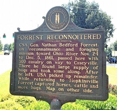
Forrest Reconnoitered
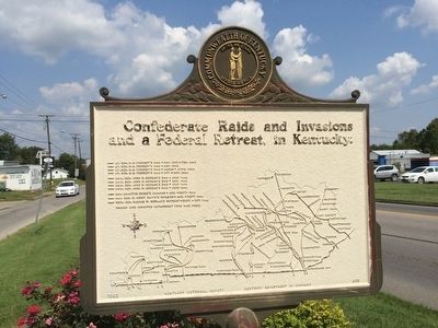
Reverse side map of: Confederate Raids and Invasions and a Federal Retreat, in Kentucky.
Erected 1963 by the Kentucky Historical Society Kentucky Department of Highways. (Marker Number 613.)
Topics and series. This historical marker is listed in these topic lists: Animals • War, US Civil. In addition, it is included in the Kentucky Historical Society series list. A significant historical date for this entry is October 24, 1861.
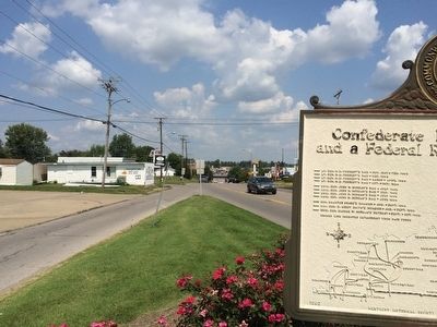
Location. 37° 20.439′ N, 87° 29.911′ W. Marker is in Madisonville, Kentucky, in Hopkins County. Marker is at the intersection of North Main Street (U.S. 41) and Hanson Street, on the left when traveling north on North Main Street. Touch for map. Marker is at or near this postal address: 920 North Main Street, Madisonville KY 42431, United States of America. Touch for directions.
Other nearby markers. At least 8 other markers are within walking distance of this marker. Harvey-Bassett House (approx. 0.6 miles away); Zion Temple A.M.E. Zion Church (approx. 0.7 miles away); Rosenwald High School / Professor C. L. Timberlake (approx. 0.7 miles away); Army of Six (approx. 0.8 miles away); County Named, 1806 (approx. 0.9 miles away); Courthouse Burned (approx. 0.9 miles away); Dr. Thomas Wright Gardiner House (approx. 0.9 miles away); Gov. Ruby Laffoon (approx. one mile away). Touch for a list and map of all markers in Madisonville.
Credits. This page was last revised on June 16, 2016. It was originally submitted on September 24, 2015, by Mark Hilton of Montgomery, Alabama. This page has been viewed 387 times since then and 18 times this year. Photos: 1, 2, 3, 4, 5. submitted on September 24, 2015, by Mark Hilton of Montgomery, Alabama.
