Boonton Township in Morris County, New Jersey — The American Northeast (Mid-Atlantic)
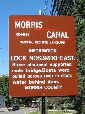
Morris Canal
Lock Nos. 9 & 10
1824-1924
National Register Landmark
Information
Lock Nos. 9 & 10-East
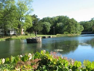
Stone abutment supported mule bridge. Boats were pulled across river in slack water behind dam.
Morris County
Topics and series. This historical marker is listed in these topic lists: Industry & Commerce • Waterways & Vessels. In addition, it is included in the Morris Canal series list.
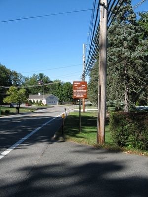
Location. 40° 55.062′ N, 74° 25.681′ W. Marker is near Boonton, New Jersey, in Morris County. It is in Boonton Township. Marker is at the intersection of Powerville Road (Route 618) and Old Denville Road, on the right when traveling north on Powerville Road. Touch for map. Marker is at or near this postal address: 212 Powerville Road, Boonton NJ 07005, United States of America. Touch for directions.
Other nearby markers. At least 8 other markers are within 2 miles of this marker, measured as the crow flies. Boonton Township Veterans Memorial (about 300 feet away, measured in a direct line); Rockaway Valley United Methodist Church (approx. 0.9 miles away); Boonton Township 9/11 Memorial (approx. 1.1 miles away); General James H. Doolittle (approx. 1.1 miles away); Adam Miller House (approx. 1.1 miles away); Dixon Homestead (approx. 1.2 miles away); Morris Canal Plane 7 East (approx. 1.2 miles away); Holmes Library (approx. 1.2 miles away). Touch for a list and map of all markers in Boonton.
Also see . . .
1. The Canal Society of New Jersey. Society website homepage (Submitted on September 24, 2015, by Michael Herrick of Southbury, Connecticut.)
2. Map of the Morris Canal. Canal Society NJ website entry (Submitted on September 24, 2015, by Michael Herrick of Southbury, Connecticut.)
3. Morris Canal. Wikipedia entry (Submitted on September 24, 2015, by Michael Herrick of Southbury, Connecticut.)

Photographed By Michael Herrick, September 20, 2015
3. Morris Canal
The round stone abutment supported the center of the bridge which spanned the canal from the photographer’s position to the stonework near the flag on the opposite side. The dam is downstream near the road bridge at right. Locks Nos. 9 & 10 allowed boats to navigate around the dam. No trace of the locks exist.
Credits. This page was last revised on February 7, 2023. It was originally submitted on September 24, 2015, by Michael Herrick of Southbury, Connecticut. This page has been viewed 453 times since then and 44 times this year. Photos: 1, 2, 3. submitted on September 24, 2015, by Michael Herrick of Southbury, Connecticut.

