Henderson in Henderson County, Kentucky — The American South (East South Central)
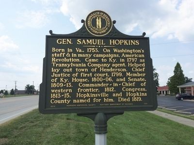
Gen. Samuel Hopkins
Erected 2010 by the Kentucky Historical Society Kentucky Department of Highways. (Marker Number 717.)
Topics and series. This historical marker is listed in these topic lists: Patriots & Patriotism • Settlements & Settlers • War, US Revolutionary. In addition, it is included in the Kentucky Historical Society series list. A significant historical year for this entry is 1753.
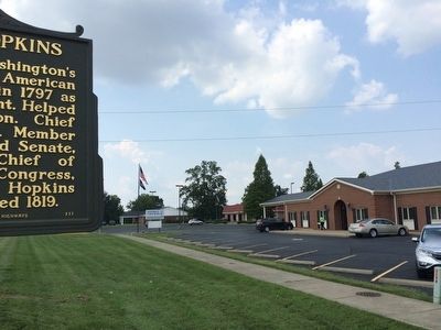
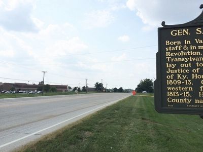
Location. 37° 49.514′ N, 87° 32.701′ W. Marker is in Henderson, Kentucky, in Henderson County. Marker is on Zion Road (Kentucky Route 351) 0.1 miles west of Denise Drive, on the right when traveling west. Touch for map. Marker is at or near this postal address: 3351 Zion Road, Henderson KY 42420, United States of America. Touch for directions.
Other nearby markers. At least 8 other markers are within 3 miles of this marker, measured as the crow flies. Transylvania Company (approx. 1.4 miles away); Fernwood Cemetery (approx. 2˝ miles away); Nurse Mary W. Arvin (approx. 2˝ miles away); Kimmel Homestead (approx. 2.6 miles away); Mothers Day (approx. 2.6 miles away); St. Paul's Episcopal Church (approx. 2.6 miles away); Home of Lucy Furman (approx. 2.7 miles away); The African Baptist Church (approx. 2.7 miles away). Touch for a list and map of all markers in Henderson.
Also see . . .
1. Wikipedia article on Samuel Hopkins. (Submitted on September 24, 2015, by Mark Hilton of Montgomery, Alabama.)
2. Western Kentucky History on Samuel Hopkins. (Submitted on September 24, 2015, by Mark Hilton of Montgomery, Alabama.)
Credits. This page was last revised on June 16, 2016. It was originally submitted on September 24, 2015, by Mark Hilton of Montgomery, Alabama. This page has been viewed 334 times since then and 28 times this year. Photos: 1, 2, 3. submitted on September 24, 2015, by Mark Hilton of Montgomery, Alabama.


