Indiana in Indiana County, Pennsylvania — The American Northeast (Mid-Atlantic)
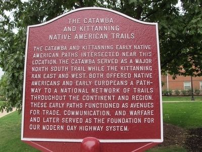
The Catawba and Kittanning Native American Trails
Crossing Point of Two Ancient Pathways
Inscription.
The Catawba and Kittanning early Native
American paths intersected near this
location. The Catawba served as a major
north south trail while the Kittanning
ran east and west. Both offered Native
Americans and early Europeans a path-
way to a national network of trails
throughout the continent and region.
These early paths functioned as avenues
for trade, communication, and warfare
and later served as the foundation for
our modern day highway system.
Erected 2014 by the IUP Native American Awareness Council and the Office of Social Equity.
Topics. This historical marker is listed in these topic lists: Native Americans • Roads & Vehicles.
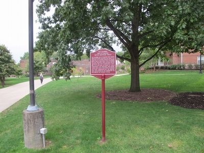
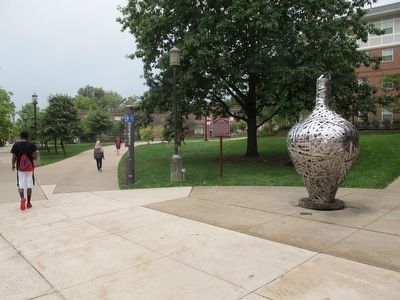
Location. 40° 37.15′ N, 79° 9.352′ W. Marker is in Indiana, Pennsylvania, in Indiana County. Marker is on Pratt Dr., on the right when traveling south. Marker is on the campus of Indiana University of Pennsylvania, near the (HUB) Hadley Student Union and Whitmyre Hall. Touch for map. Marker is at or near this postal address: 330 Pratt Dr, Indiana PA 15705, United States of America. Touch for directions.
Other nearby markers. At least 8 other markers are within 2 miles of this marker, measured as the crow flies. William H. Sylvis (about 400 feet away, measured in a direct line); Memorial Park (approx. ¼ mile away); James Maitland Stewart (approx. ¼ mile away); Indiana County (approx. ¼ mile away); James S. Nance, Jr. (approx. ¼ mile away); The Rescue of Anthony Hollingsworth (approx. 0.4 miles away); Walk of Fame (approx. 0.4 miles away); Moorhead's Fort (approx. 1.3 miles away). Touch for a list and map of all markers in Indiana.
Credits. This page was last revised on July 20, 2019. It was originally submitted on October 1, 2015, by Rev. Ronald Irick of West Liberty, Ohio. This page has been viewed 877 times since then and 69 times this year. Photos: 1, 2, 3. submitted on October 1, 2015, by Rev. Ronald Irick of West Liberty, Ohio. • Bill Pfingsten was the editor who published this page.


