Andersonville in Macon County, Georgia — The American South (South Atlantic)
The "Sinks"
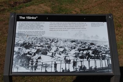
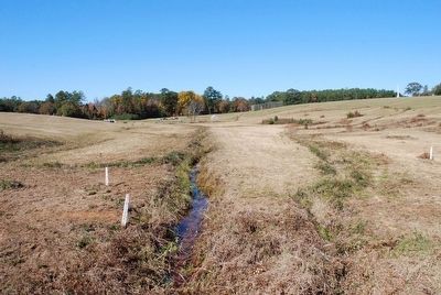
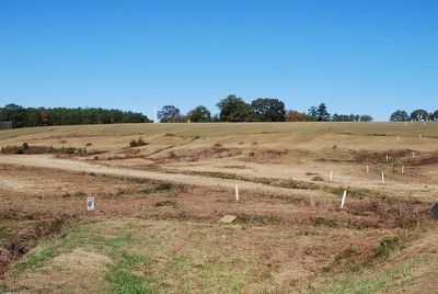
This downstream end of Stockade Branch was the site of the camp "sinks" or latrines. According to the Confederates' original plan, prisoners would get drinking water upstream and use latrines downstream, where the current would flush sewage out of camp.
Inadvertently, the prison was designed for death. Stockade posts slowed the drainage, and during dry spells the creek became more swamp than flowing stream. Dysentery swept the camp.
"Our new camp was on the two steep hillsides, at the base of which was a great quagmire. This was ditched through the center with a narrow, shallow stream, which was very sluggish on account of the small supply of water and the slight descent of the ground."
Charles C. Fosdick, 5th Iowa Infantry, February 26, 1864
(caption)
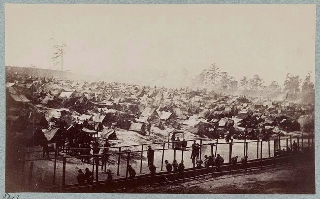
Confederate A.J. Riddle took this photograph of the latrines in August 1864. Though living space was at a premium, five to six acres near the creek remained vacant.
Erected by National Park Service.
Topics. This historical marker is listed in this topic list: War, US Civil. A significant historical date for this entry is February 26, 1864.
Location. 32° 11.549′ N, 84° 7.698′ W. Marker is in Andersonville, Georgia, in Macon County. Marker is on Prison Site Road, 0.4 miles south of Cemetery Road, on the right when traveling south. Touch for map. Marker is in this post office area: Andersonville GA 31711, United States of America. Touch for directions.
Other nearby markers. At least 8 other markers are within walking distance of this marker. View from a Pigeon-Roost (approx. 0.2 miles away); Providence Spring (approx. 0.2 miles away); A Tight Stockade (approx. 0.2 miles away); The North Gate (approx. 0.2 miles away); World of Lost Spirits (approx. 0.2 miles away); The Commandant's Perspective (approx. 0.2 miles away); Stockade Branch (approx. 0.2 miles away); The Prison Hospital (approx. 0.2 miles away). Touch for a list and map of all markers in Andersonville.
Also see . . . Andersonville National Historic Site. National Park Service (Submitted on October 2, 2015.)
Credits. This page was last revised on June 16, 2016. It was originally submitted on October 1, 2015, by Brandon Fletcher of Chattanooga, Tennessee. This page has been viewed 529 times since then and 17 times this year. Photos: 1, 2, 3, 4. submitted on October 1, 2015, by Brandon Fletcher of Chattanooga, Tennessee. • Bernard Fisher was the editor who published this page.


