Carbondale in Lackawanna County, Pennsylvania — The American Northeast (Mid-Atlantic)
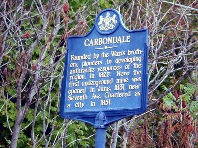
Carbondale
Erected 1947 by Pennsylvania Historical & Museum Commission.
Topics and series. This historical marker is listed in these topic lists: Industry & Commerce • Settlements & Settlers. In addition, it is included in the Pennsylvania Historical and Museum Commission series list. A significant historical month for this entry is June 1831.
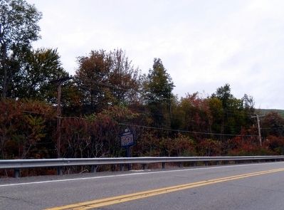
Location. 41° 34.99′ N, 75° 30.767′ W. Marker is in Carbondale, Pennsylvania, in Lackawanna County. Marker is on Fallbrook Street. Touch for map. Marker is at or near this postal address: 208 Fallbrook Street (PA 106), Carbondale PA 18407, United States of America. Touch for directions.
Other nearby markers. At least 8 other markers are within walking distance of this marker. Delaware & Hudson Canal Company Office Building (approx. 0.9 miles away); Delaware & Hudson Passenger Station (approx. 0.9 miles away); Carbondale City Hall / Memorial Park (approx. 0.9 miles away); Carbondale City Hall and Courthouse (approx. 0.9 miles away); Patrolman William F. McAndrew (approx. 0.9 miles away); Carbondale City Hall (approx. 0.9 miles away); a different marker also named Carbondale (approx. 0.9 miles away); America's First Underground Anthracite Mine (approx. 0.9 miles away). Touch for a list and map of all markers in Carbondale.
Credits. This page was last revised on June 16, 2016. It was originally submitted on October 3, 2015, by Don Morfe of Baltimore, Maryland. This page has been viewed 306 times since then and 18 times this year. Photos: 1, 2. submitted on October 3, 2015, by Don Morfe of Baltimore, Maryland. • Bill Pfingsten was the editor who published this page.

