Death Valley National Park in Inyo County, California — The American West (Pacific Coastal)
Wildrose Charcoal Kilns
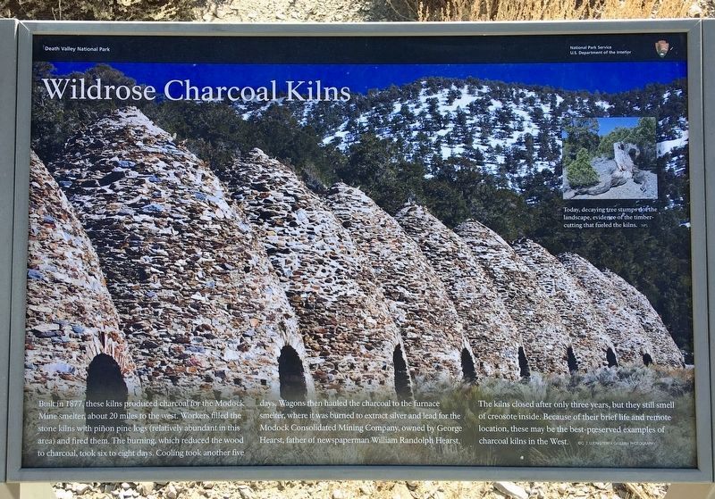
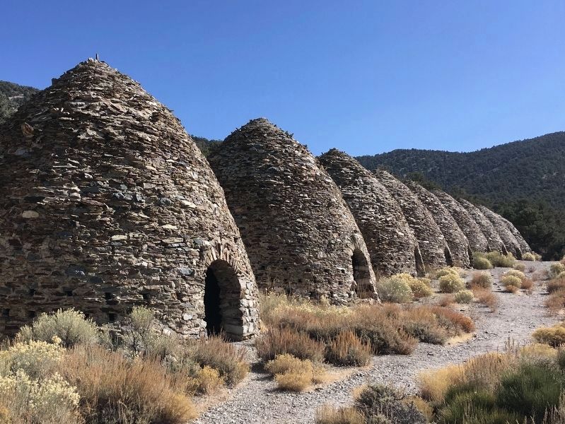
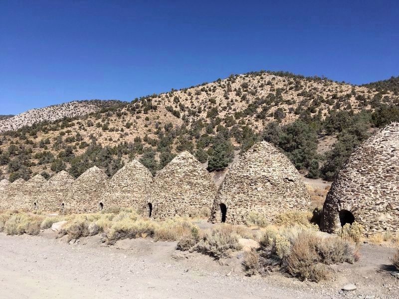
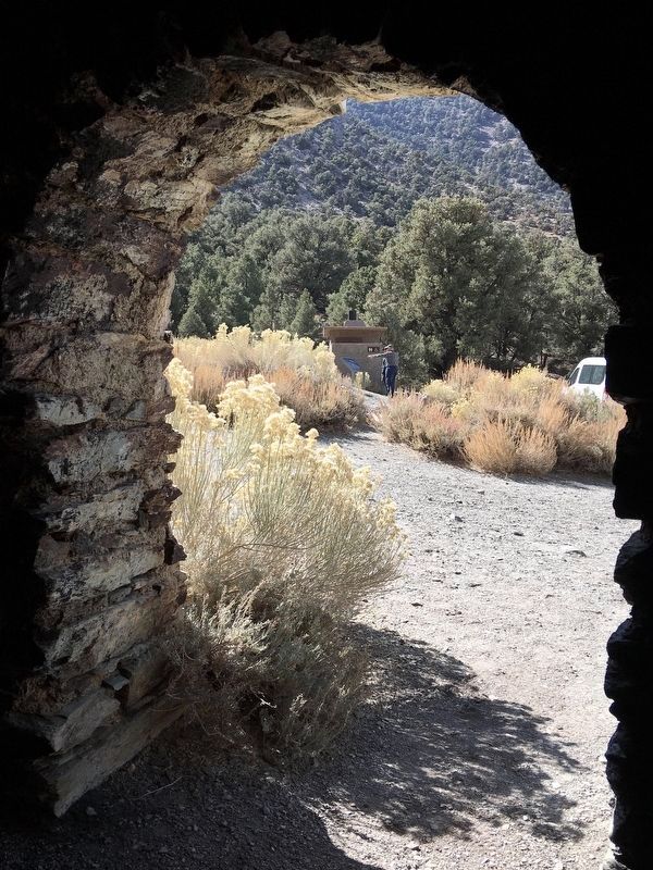
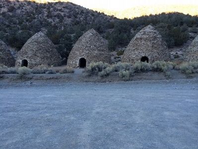
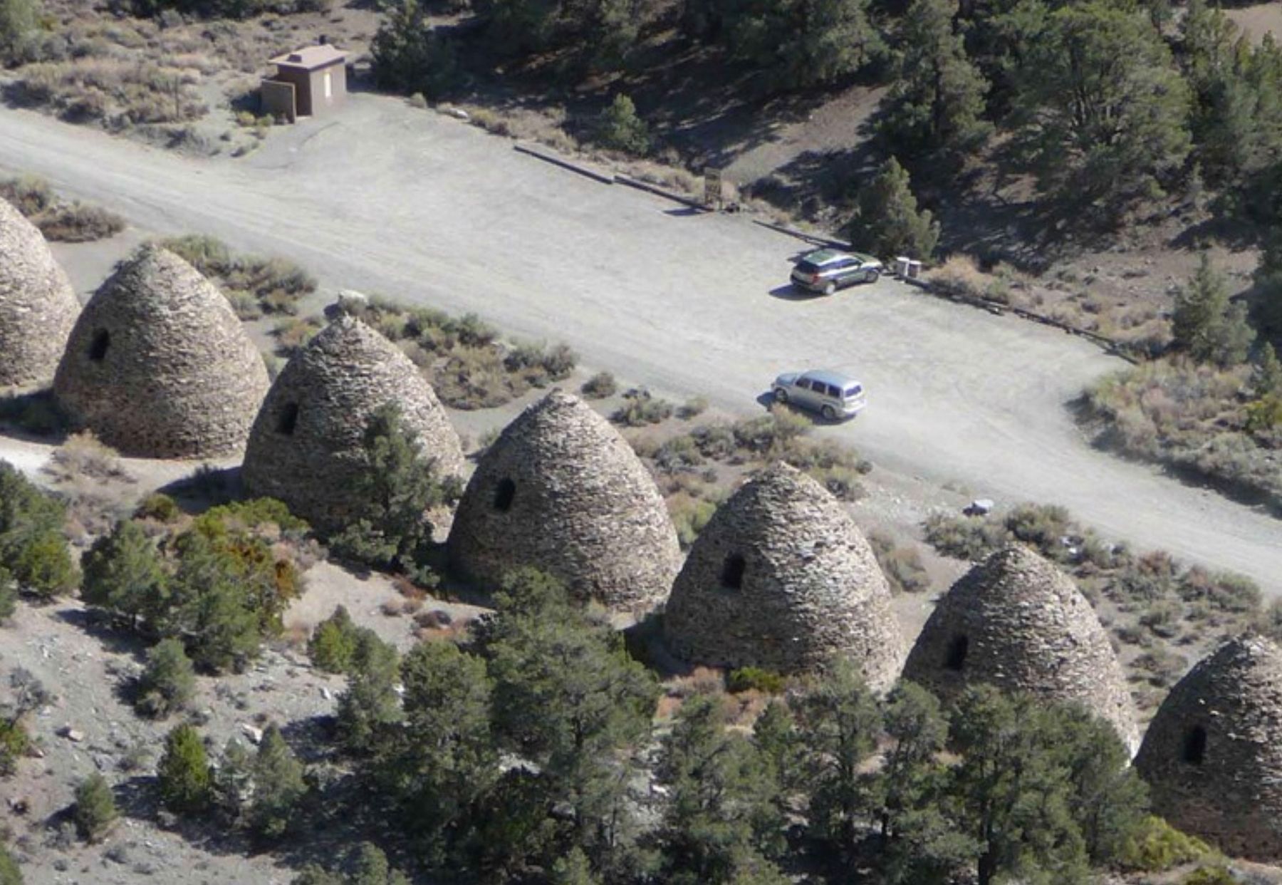
Built in 1877, these kilns produced charcoal for the Modock Mine smelter about 20 miles to the west. Workers filled the stone kilns with piñon pine logs (relatively abundant in this area) and fired them. The burning, which reduced the wood to charcoal, took six to eight days. Cooling took another five days. Wagons then hauled the charcoal to the furnace smelter, where it was burned to extract silver and lead for the Modock Consolidated Mining Company, owned by George Hearst, father of newspaperman William Randolph Hearst. The kilns closed after only three years, but they still smell of creosote inside. Because of their brief life and remote location, these may be the best preserved examples of charcoal kilns in the west.
Original Marker:
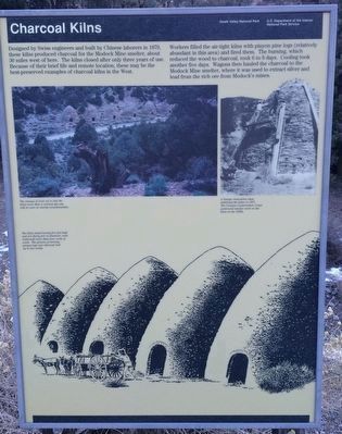
Designed by Swiss Engineers and built by Chinese laborers in 1879, these kilns produced charcoal for the Modock Mine smelter, about 30 miles west of here. The kilns closed after only three years of use. Because of their brief life and remote location, these may be the best-preserved examples of charcoal kilns in the west.
Workers filled the air-tight kilns with Pinyon logs (relatively abundant in the area) and fired them. The burning, which reduced the wood to charcoal, took 6 to 8 days. Cooling took another 5 days. Wagons then hauled the charcoal to the Modock Mine Smelter, where it was used to extract silver and lead from the rich ore from Modock's mines.
Erected by National Park Service.
Topics. This historical marker is listed in these topic lists: Industry & Commerce • Natural Resources. A significant historical year for this entry is 1879.
Location. 36° 14.783′ N, 117° 4.562′ W. Marker is in Death Valley National Park, California, in Inyo County. Marker is on Charcoal Kiln Road, 7 miles east of Emigrant Canyon Road, on the right when traveling east. Touch for map. Marker is in this post office area: Death Valley CA 92328, United States of America. Touch for directions.
Other nearby markers. At least 8 other markers are within 14 miles of this marker, measured as the crow flies. Skidoo Pipeline (approx. 3.2 miles away); Wildrose CCC Camp (approx. 6.3 miles away); Aguereberry Point (approx. 7.9 miles away); The Eureka Mine (approx. 8.2 miles away); Aguereberry Camp (approx. 8.3 miles away); Journigan’s Mill (approx. 13 miles away); Skidoo (approx. 13.4 miles away); Skidoo Mill (approx. 13.9 miles away). Touch for a list and map of all markers in Death Valley National Park.
Photographed By Trev Meed, circa 2015
6. The original Charcoal Kilns Marker
Photo Captions:
Upper Left:
The stumps of trees cut to fuel the kilns more than a century ago can still be seen on nearby mountainsides.
Lower Left:
The kilns stand twenty-five feet high and are thirty feet in diameter; each could hold more than four cords of wood. the process of turning Pinyon logs into charcoal took up to two weeks.
Upper Right:
A Navajo restoration team stabilized the kilns in 1971. The Civilian Conservation Corps performed similar work on the kilns in the 1930's.
Credits. This page was last revised on August 20, 2023. It was originally submitted on October 12, 2015. This page has been viewed 552 times since then and 28 times this year. Last updated on November 5, 2020. Photos: 1, 2, 3, 4, 5. submitted on November 5, 2020, by Craig Baker of Sylmar, California. 6, 7. submitted on October 12, 2015, by Trev Meed of Round Mountain, Nevada. 8. submitted on April 4, 2018, by Craig Baker of Sylmar, California. • J. Makali Bruton was the editor who published this page.
