Midway in Bullock County, Alabama — The American South (East South Central)
Confederate Memorial
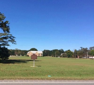
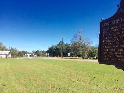
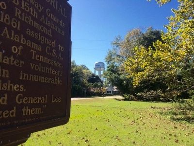
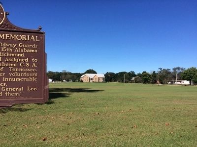
Drill Ground of the Midway Guards 1860, later Company B 15th Alabama C.S.A. ordered to Richmond. Second Company 1861 assigned to Company C 45th Alabama C.S.A. ordered to Army of Tennessee. These and many later volunteers met the enemy in innumerable battles, and skirmishes.
"They immortalized General Lee and Lee immortalized them."
Erected 1960 by the Midway Guards Chapter of the United Daughters of the Confederacy .
Topics and series. This historical marker and memorial is listed in these topic lists: Notable Places • War, US Civil. In addition, it is included in the United Daughters of the Confederacy series list. A significant historical year for this entry is 1860.
Location. 32° 4.723′ N, 85° 31.167′ W. Marker is in Midway, Alabama, in Bullock County. Marker is at the intersection of Old Broadway Street (U.S. 82) and Main Street, on the right when traveling west on Old Broadway Street. Touch for map. Marker is at or near this postal address: Old Broadway Street, Midway AL 36053, United States of America. Touch for directions.
Other nearby markers. At least 8 other markers are within 8 miles of this marker, measured as the crow flies. Midway Baptist Church (about 700 feet away, measured in a direct line); Jefferson Davis Highway (about 700 feet away); St. James C.M.E. Church (approx. 0.6 miles away); Town of Midway (approx. 0.6 miles away); First Baptist Missionary Church 1875 (approx. 0.6 miles away); Old Merritt School Midway Community Center (approx. 0.6 miles away); Three Notch Road (approx. 4 miles away); Ramah Baptist Church & Cemetery (approx. 7.4 miles away). Touch for a list and map of all markers in Midway.
Credits. This page was last revised on June 16, 2016. It was originally submitted on October 14, 2015, by Mark Hilton of Montgomery, Alabama. This page has been viewed 1,065 times since then and 72 times this year. Photos: 1, 2, 3, 4, 5. submitted on October 14, 2015, by Mark Hilton of Montgomery, Alabama.
