Near Delaware in Delaware County, Ohio — The American Midwest (Great Lakes)
Scioto Park Stone #2
The Atkinson Farm
— A Series of Four Stones —
Inscription.
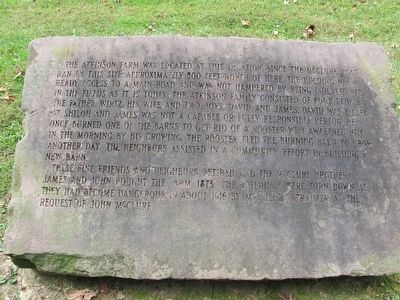
The Atkinson Farm was located at this location since the McClure Road
ran by this site approximately 500 feet north of here. The holding had
ready access to a main road and was not hampered by being isolated deep
in the fields as it is today. The Atkinson family consisted of four people,
the Father, Wirtz, his wife, and two boys, David and James. David was killed
at Shiloh and James was not a capable or responsible person. He
once burned one of the barns to get rid of a rooster who awakened him
in the morning by his crowing. The rooster fled the burning barn to crow
another day. The neighbors assisted in a community effort in building a
new barn.
These fine neighbors and friends retired and the McClure Brothers,
James and John bought the farm in 1873. The buildings were torn down
as they had become dangerous in about 1916 by Mr. Henry Strauzer at the
request of John McClure.
Topics. This historical marker is listed in these topic lists: Agriculture • Roads & Vehicles • Settlements & Settlers.
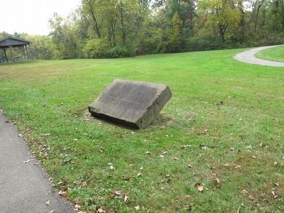
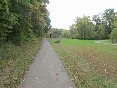
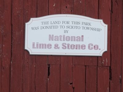
Location. 40° 17.379′ N, 83° 8.704′ W. Marker is near Delaware, Ohio, in Delaware County. Marker is on Marysville Rd (U.S. 36), on the left when traveling west. Marker is in Scioto Township Park, on the hiking trail, southeast,
Other nearby markers. At least 8 other markers are within 4 miles of this marker, measured as the crow flies. Scioto Park Stone #1 (about 600 feet away, measured in a direct line); Scioto Park Stone #3 (approx. 0.2 miles away); Scioto Park Stone #4 (approx. 0.2 miles away); Old Stone Church (approx. 2˝ miles away); Bellpoint Buccaneers / Bellpoint High School (approx. 3 miles away); Concord Township Veterans Memorial (approx. 3.1 miles away); George W. Campbell Home (approx. 3.7 miles away); Zion African Methodist Episcopal Church (approx. 3.9 miles away). Touch for a list and map of all markers in Delaware.
Credits. This page was last revised on June 16, 2016. It was originally submitted on October 17, 2015, by Rev. Ronald Irick of West Liberty, Ohio. This page has been viewed 402 times since then and 5 times this year. Photos: 1, 2, 3, 4. submitted on October 17, 2015, by Rev. Ronald Irick of West Liberty, Ohio. • Bill Pfingsten was the editor who published this page.


