Near Transylvania in East Carroll Parish, Louisiana — The American South (West South Central)
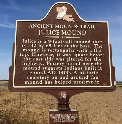
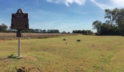
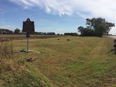
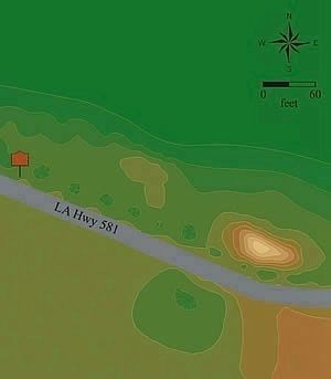
Julice Mound
Ancient Mounds Trail
Erected by State of Louisiana.
Topics and series. This historical marker is listed in these topic lists: Cemeteries & Burial Sites • Native Americans. In addition, it is included in the Louisiana Ancient Mounds Trail series list. A significant historical year for this entry is 1400.
Location. 32° 41.325′ N, 91° 13.041′ W. Marker is near Transylvania, Louisiana, in East Carroll Parish. Marker is on State Highway 581, 0.2 miles west of State Highway 881, on the right when traveling west. Touch for map. Marker is in this post office area: Transylvania LA 71286, United States of America. Touch for directions.
Other nearby markers. At least 8 other markers are within 9 miles of this marker, measured as the crow flies. Transylvania Mounds (approx. 0.9 miles away); Roosevelt (approx. 8.4 miles away); Grant's Canal (approx. 8˝ miles away); Battle for the Mississippi: The Vicksburg Campaign (approx. 8.6 miles away); Grant's March Through Louisiana (approx. 8.6 miles away); Soldiers' Rest (approx. 8.6 miles away); Lake Providence Confederate Monument (approx. 8.6 miles away); Farming With Plows (approx. 8.9 miles away).
Regarding Julice Mound.
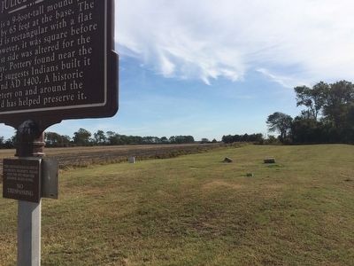
A smaller marker below this one warns:
This archaeological site is on private property,
Please view the site from the highway right-of-way.
NO TRESPASSING
Also see . . .
1. Wikipedia article on Julice Mound. (Submitted on October 21, 2015, by Mark Hilton of Montgomery, Alabama.)
2. Indian Mounds of Northeast Louisiana. (Submitted on October 21, 2015, by Mark Hilton of Montgomery, Alabama.)
Credits. This page was last revised on March 31, 2018. It was originally submitted on October 20, 2015, by Mark Hilton of Montgomery, Alabama. This page has been viewed 519 times since then and 20 times this year. Photos: 1, 2, 3, 4. submitted on October 20, 2015, by Mark Hilton of Montgomery, Alabama. 5. submitted on March 31, 2018, by Mark Hilton of Montgomery, Alabama.
