Clarksdale in Coahoma County, Mississippi — The American South (East South Central)
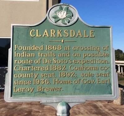
Clarksdale
Erected 1979 by Mississippi Department of Archives and History.
Topics and series. This historical marker is listed in these topic lists: Exploration • Native Americans • Political Subdivisions • Settlements & Settlers. In addition, it is included in the Mississippi State Historical Marker Program series list. A significant historical year for this entry is 1868.
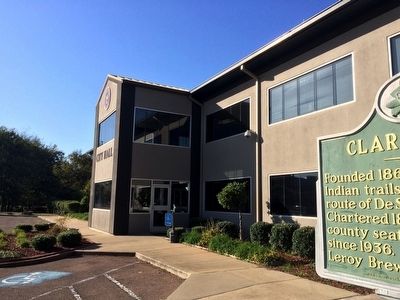
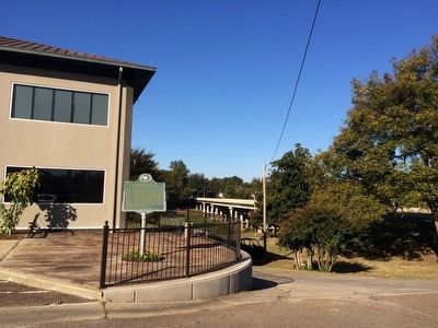
Location. 34° 12.203′ N, 90° 34.584′ W. Marker is in Clarksdale, Mississippi, in Coahoma County. Marker is at the intersection of Sunflower Avenue and 1st Street, on the right when traveling south on Sunflower Avenue. Located to right side of City Hall. Touch for map. Marker is at or near this postal address: 121 Sunflower Avenue, Clarksdale MS 38614, United States of America. Touch for directions.
Other nearby markers. At least 8 other markers are within walking distance of this marker. Richard Ford (about 400 feet away, measured in a direct line); Carnegie Public Library (about 400 feet away); Temple Beth Israel (about 500 feet away); Harvey B. Heidelberg (about 700 feet away); WROX Radio (approx. 0.2 miles away); Ike Turner (approx. 0.2 miles away); Hicks-Tarzi Memorial Grotto (approx. ¼ mile away); J.W. Cutrer House (approx. ¼ mile away). Touch for a list and map of all markers in Clarksdale.
Also see . . .
1. History of Clarksdale. (Submitted on October 24, 2015, by Mark Hilton of Montgomery, Alabama.)
2. Wikipedia article on Clarksdale. (Submitted on October 24, 2015, by Mark Hilton of Montgomery, Alabama.)
Credits. This page was last revised on June 16, 2016. It was originally submitted on October 24, 2015, by Mark Hilton of Montgomery, Alabama. This page has been viewed 402 times since then and 23 times this year. Photos: 1, 2, 3. submitted on October 24, 2015, by Mark Hilton of Montgomery, Alabama.


