Cleveland in Bolivar County, Mississippi — The American South (East South Central)
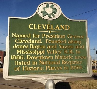
Cleveland
Erected 2000 by Mississippi Department of Archives and History.
Topics and series. This historical marker is listed in these topic lists: Notable Places • Railroads & Streetcars • Settlements & Settlers. In addition, it is included in the Former U.S. Presidents: #22 and #24 Grover Cleveland, and the Mississippi State Historical Marker Program series lists. A significant historical year for this entry is 1886.
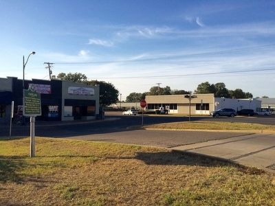
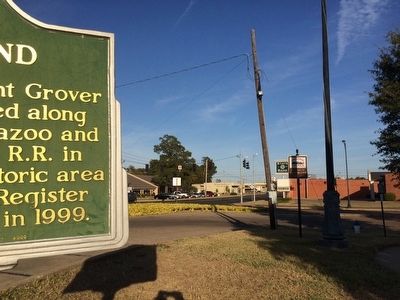
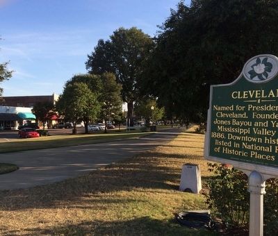
Location. 33° 44.844′ N, 90° 43.295′ W. Marker is in Cleveland, Mississippi, in Bolivar County. Marker is at the intersection of Cotton Row and North Sharpe Avenue, in the median on Cotton Row. Touch for map. Marker is at or near this postal address: 349 Cotton Row, Cleveland MS 38732, United States of America. Touch for directions.
Other nearby markers. At least 8 other markers are within walking distance of this marker. Margaret Wade (approx. 0.2 miles away); David R. Bowen (approx. ¼ mile away); The Enlightenment of W.C. Handy (approx. ¼ mile away); Bolivar County Confederate Monument (approx. ¼ mile away); Bolivar County Veterans Memorial (approx. ¼ mile away); The Cleveland Depot (approx. 0.3 miles away); Delta Blues Inspires W.C. Handy (approx. 0.3 miles away); Chrisman Street (approx. 0.3 miles away). Touch for a list and map of all markers in Cleveland.
Also see . . . Wikipedia article on the City of Cleveland. (Submitted on October 29, 2015, by Mark Hilton of Montgomery, Alabama.)
Credits. This page was last revised on June 16, 2016. It was originally submitted on October 29, 2015, by Mark Hilton of Montgomery, Alabama. This page has been viewed 453 times since then and 29 times this year. Photos: 1, 2, 3, 4. submitted on October 29, 2015, by Mark Hilton of Montgomery, Alabama.


