Jones Creek in Brazoria County, Texas — The American South (West South Central)
Battle of Jones Creek
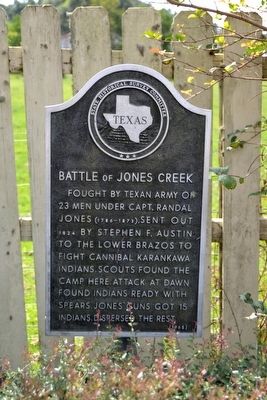
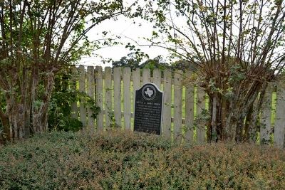
Fought by Texan army of 23 men under Capt. Randal Jones (1786-1873), sent out 1824 by Stephen F. Austin to the Lower Brazos to fight cannibal Karankawa Indians. Scouts found the camp here. Attack at dawn found Indians ready with spears. Jones’ guns got 15 Indians, dispersed the rest.
Erected 1965 by State Historical Survey Committee. (Marker Number 9569.)
Topics. This historical marker is listed in these topic lists: Native Americans • Wars, US Indian. A significant historical year for this entry is 1824.
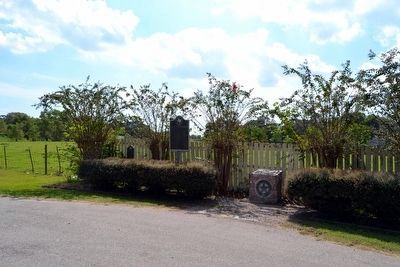
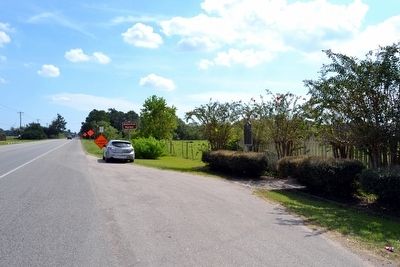
Location. 28° 58.708′ N, 95° 28.319′ W. Marker is in Jones Creek, Texas, in Brazoria County. Marker is at the intersection of State Highway 36 and Gulf Prairie Road, on the right when traveling east on State Highway 36. Marker is at south corner of the intersection of SH 36, Gulf Prairie Road, and Peach Point Road. Touch for map. Marker is in this post office area: Freeport TX 77541, United States of America. Touch for directions.
Other nearby markers. At least 8 other markers are within walking distance of this marker. Major Guy M. Bryan, C.S.A. (here, next to this marker); Peach Point (here, next to this marker); James Franklin Perry (about 800 feet away, measured in a direct line); Emily Margaret Brown Austin Bryan Perry (about 800 feet away); General Stephen Fuller Austin (about 800 feet away); William Joel Bryan (approx. 0.2 miles away); Major Reuben R. Brown (approx. 0.2 miles away); Henry William Munson (approx. 0.2 miles away). Touch for a list and map of all markers in Jones Creek.
Also see . . .
1. The Battle of Jones Creek. From the Texas State Historical Association’s “Handbook of Texas Online”. (Submitted on November 3, 2015.)
2. Houston 101: The Battle of Jones Creek, 188 Years Ago Today. Article from the June 22, 2012 edition of the Houston Press. (Submitted on November 3, 2015.)
Credits. This page was last revised on October 28, 2020. It was originally submitted on November 3, 2015, by Duane Hall of Abilene, Texas. This page has been viewed 1,231 times since then and 72 times this year. Photos: 1, 2. submitted on November 3, 2015, by Duane Hall of Abilene, Texas. 3, 4, 5. submitted on November 2, 2015, by Duane Hall of Abilene, Texas.
