Falls Mills in Tazewell County, Virginia — The American South (Mid-Atlantic)
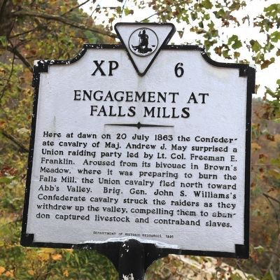
Engagement at Falls Mills
Erected 1991 by Department of Historic Resources. (Marker Number XP-6.)
Topics and series. This historical marker is listed in this topic list: War, US Civil. In addition, it is included in the Virginia Department of Historic Resources (DHR) series list. A significant historical date for this entry is July 20, 1863.
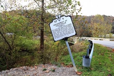
Location. 37° 16.536′ N, 81° 18.679′ W. Marker is in Falls Mills, Virginia, in Tazewell County. Marker is at the intersection of Fall Mills Raod (Virginia Route 102) and Mud Fork Road (County Route 643), on the left when traveling south on Fall Mills Raod. Touch for map. Marker is in this post office area: Falls Mills VA 24613, United States of America. Touch for directions.
Other nearby markers. At least 8 other markers are within 3 miles of this marker, measured as the crow flies. West Virginia (Mercer County) / Mercer County (approx. 1.2 miles away in West Virginia); Bluefield Virginia (approx. 2 miles away); Maple Hill Cemetery, African American Section (approx. 2 miles away); Town of Pocahontas Commercial District (approx. 2½ miles away); Abb’s Valley (approx. 2.7 miles away); Pocahontas (approx. 2.7 miles away); Pocahontas Cemetery (approx. 2.7 miles away); Jordan Nelson’s Coal Bank (approx. 2.8 miles away in West Virginia).
Credits. This page was last revised on June 16, 2016. It was originally submitted on November 14, 2015, by J. J. Prats of Powell, Ohio. This page has been viewed 729 times since then and 52 times this year. Photos: 1, 2. submitted on November 14, 2015, by J. J. Prats of Powell, Ohio.

